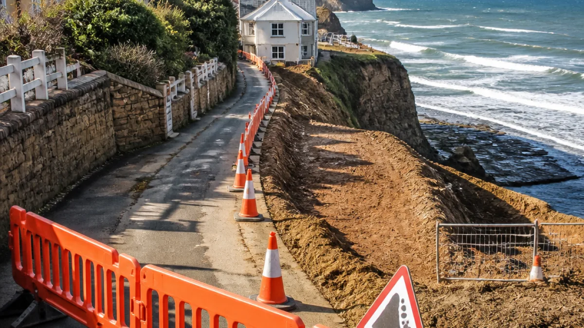
Redcar and Cleveland Council has published a more detailed budget for the initial stage of a planned realignment of Cowbar Lane, the narrow road that runs into Staithes and serves a small cluster of homes and critical local infrastructure.
Why the work is necessary
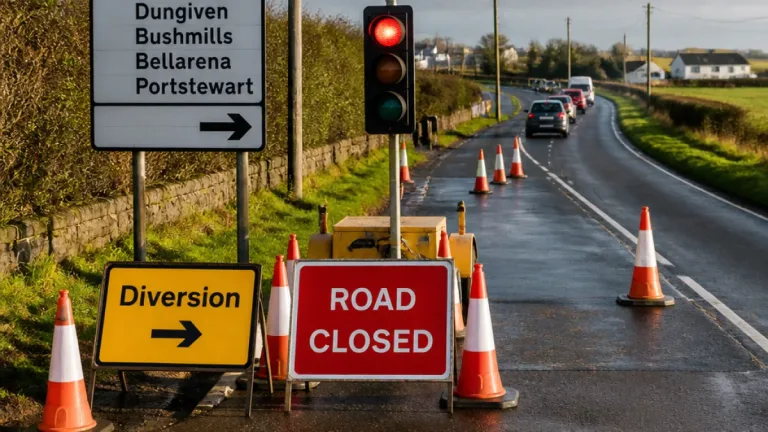
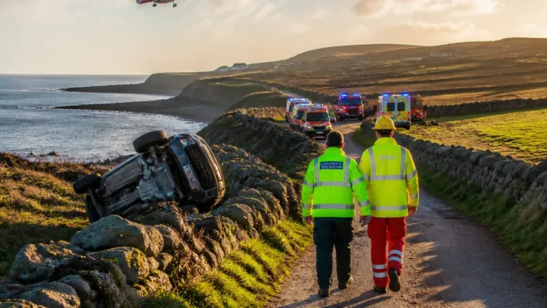
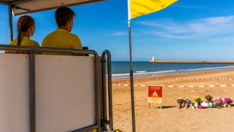
Council papers describe the cliff above Cowbar Lane as being at imminent risk of collapse after ongoing erosion caused by wave action and heavy rainfall. A stretch of road close to the cliff edge has already been fenced off to deter public access while engineers assess the situation.
What the first phase covers and how much it will cost
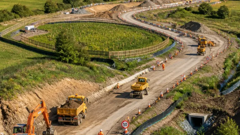
Consultants AtkinsRealis have been appointed to act as project manager and to develop designs for a new section of road, co‑ordinate any utility relocations and oversee the demolition of one property that will be required to make room for the realignment. The updated estimate for AtkinsRealis’s work on phase one is £210,377.
| Item | Cost |
|---|---|
| Phase one (design & project management by AtkinsRealis) | £210,377 |
| Previously allocated for pre‑construction | £60,181 |
| Overall estimated scheme cost | £1.8m (approx) |
The council says earlier papers only set aside £60,181 for early pre‑construction tasks; the higher figure now provided reflects the need for sequential surveys and an expedited procurement process.
Local impact and constraints
Cowbar Lane is the only vehicular route to a tiny hamlet at Cowbar and also gives access to properties on the north side of Staithes harbour, including the local RNLI lifeboat station and a pumping station operated by Yorkshire Water. The lane forms part of the Cleveland Way and is included on a national cycle network route, meaning any works will need to consider recreational users as well as residents and emergency access.
- Project delivery will be phased; a three‑stage realignment was identified as the preferred option following evaluation of more than 20 alternatives.
- Work on the scheme is pencilled in to begin in winter 2026, but this depends on securing funding and obtaining necessary permissions.
- A previous realignment of the lane was carried out in the 1980s.
Council officers describe the approach as part of a managed retreat strategy for the coast at this location, reflecting long‑term policy responses to cliff recession rather than temporary shore defences.
What happens next
Before physical works can begin, the council must finalise detailed designs, obtain planning and other consents, confirm funding for later phases and complete the required surveys. The involvement of utility companies and the need to demolish a property to make way for the new alignment add further complexity to the programme.
For residents and visitors, the immediate effect is the continued restriction of access near the most at‑risk stretch of lane while the council and its contractors move through the planning and procurement stages.