Havering has been identified as the London borough with the largest share of land at elevated risk of wildfire, according to a new assessment published this week as the capital endures its third heatwave of the year.
Where the danger is concentrated
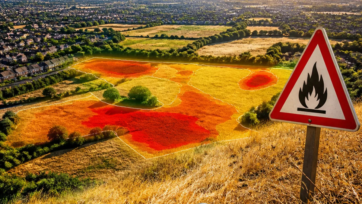
Geospatial analytics firm Map Impact used its WildfireView model to map susceptibility across all 32 London boroughs. The company found that just over 11% of Havering's area falls into the model’s high or very high risk categories — the greatest proportion of any borough in the capital. By contrast, the borough with the second-highest share was Hounslow, at just under 10%.
| London borough | Share of land at high/very high risk |
|---|---|
| Havering | Just over 11% |
| Hounslow | Just under 10% |
Why outer boroughs are more vulnerable
The analysis highlights a pattern seen across the capital: outer London boroughs with larger expanses of grassland, scrub and open space tend to show higher wildfire susceptibility than inner-city areas. Where open vegetation sits alongside homes and transport infrastructure, small fires can spread quickly.
“The combination of hot temperatures, very dry vegetation and strengthening winds creates the conditions in which small fires can spread rapidly and become much harder to control,” said Richard Flemmings, chief executive of Map Impact.
Experts note that ignition sources are often mundane and accidental — from discarded cigarette butts and BBQs to sunlight focused through glass — and that higher visitor numbers to green spaces increase the chances of an accidental start.
What this means locally
For Havering residents, the findings underline the importance of vigilance during prolonged hot, dry spells. The borough stretches out towards the M25 and contains a mix of open parkland and residential areas where a fire that starts in vegetation could threaten nearby properties and infrastructure if conditions are right.
- Be cautious with barbecues and open flames in parks or on dry grass.
- Never discard cigarettes, glass or other materials that can focus sunlight.
- Report any signs of smoke or small unattended fires to the emergency services immediately.
Climate change is cited in the assessment as a driver that is increasing the frequency of the hot, dry weather patterns which elevate wildfire risk. While the Map Impact data maps susceptibility rather than predicting exact events, it is intended to help local authorities, emergency planners and the public understand where resources and caution should be focussed.
Havering Council and the London Fire Brigade were approached for comment on what local measures are being taken in response to the analysis. In the meantime, residents are being urged to take simple precautions to reduce the chance of accidental ignition during the heatwave.