Plans to use Saxlingham Nethergate's main thoroughfare as a heavy goods vehicle route for a large solar farm have provoked anger among residents who say the scheme threatens the village's character and historic fabric.
What is proposed
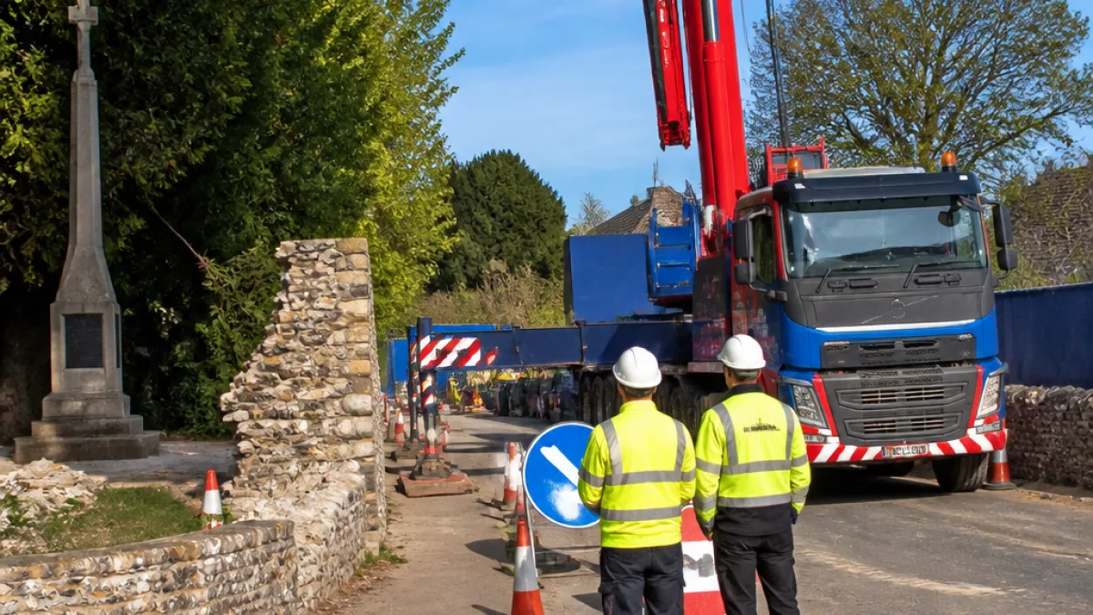
The company behind the scheme has indicated it will need to bring in heavy machinery and oversized components over a two-year construction period to build a proposed 2,718-acre solar array on surrounding farmland. To accommodate the abnormally wide loads – reported as up to 5.5m across – the existing lane, currently about 4.5m wide, would be widened.
The changes envisaged include removal or alteration of boundary features such as railings and an 18th-century wall belonging to the Old Rectory, and works that could encroach on the triangular plot where the village's Grade II-listed war memorial stands. The Old Rectory is Grade II* and was designed by Sir John Soane.
Local reaction
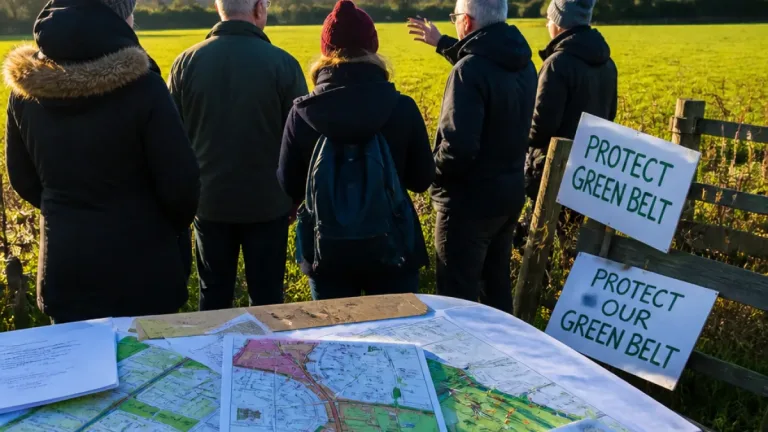
Residents of the village of around 700 people have reacted strongly. Several local voices expressed opposition, citing damage to heritage and daily life.
"I think everybody is pretty angry about it. There must be alternative ways,"
Neville Dare, who lives in the village centre, voiced his concern. Another resident, John Houchen, said: "We are totally opposed to it. It is totally inappropriate in an area like this." John Cook, a South Norfolk District councillor and local resident, described the roads as "hopelessly inadequate" and said the proposals demonstrated a "lack of respect to the people of Norfolk."
Why this matters locally
The lane passes several notable village assets: a cricket ground, a scout hut, an Edwardian school, a medieval church, the listed rectory, a war memorial, an old telephone box, cottages, farm buildings and a thatched village hall. Many of these features are immediately adjacent to the narrow carriageway and could be affected by widening works.
- Potential damage to listed and historic structures
- Alteration of the village's visual and social character
- Extended construction traffic over a two-year period
Key figures
| Item | Measure |
|---|---|
| Proposed solar array | 2,718 acres |
| Current road width | 4.5 m |
| Required width for loads | up to 5.5 m |
| Construction length | Two years (as stated) |
At present there is local opposition but it is not clear from the information available what statutory consents have been applied for or which highway and heritage bodies have been formally consulted. Any proposal to alter listed structures or affect registered heritage assets would normally involve input from district and county planning authorities and Historic England.
For residents, the immediate questions are how any widening would be carried out, whether historic walls and memorial land would be permanently altered, and whether alternative access routes have been fully explored. The tension here highlights a broader challenge: balancing large-scale renewable energy developments with protection of local heritage and community amenity.
Further details on planning applications and formal consultations will be needed before a conclusion is reached. Local people and councillors say they expect to be kept informed and to have a say in any proposals that could change the appearance and accessibility of their village.