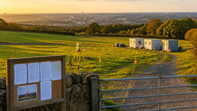
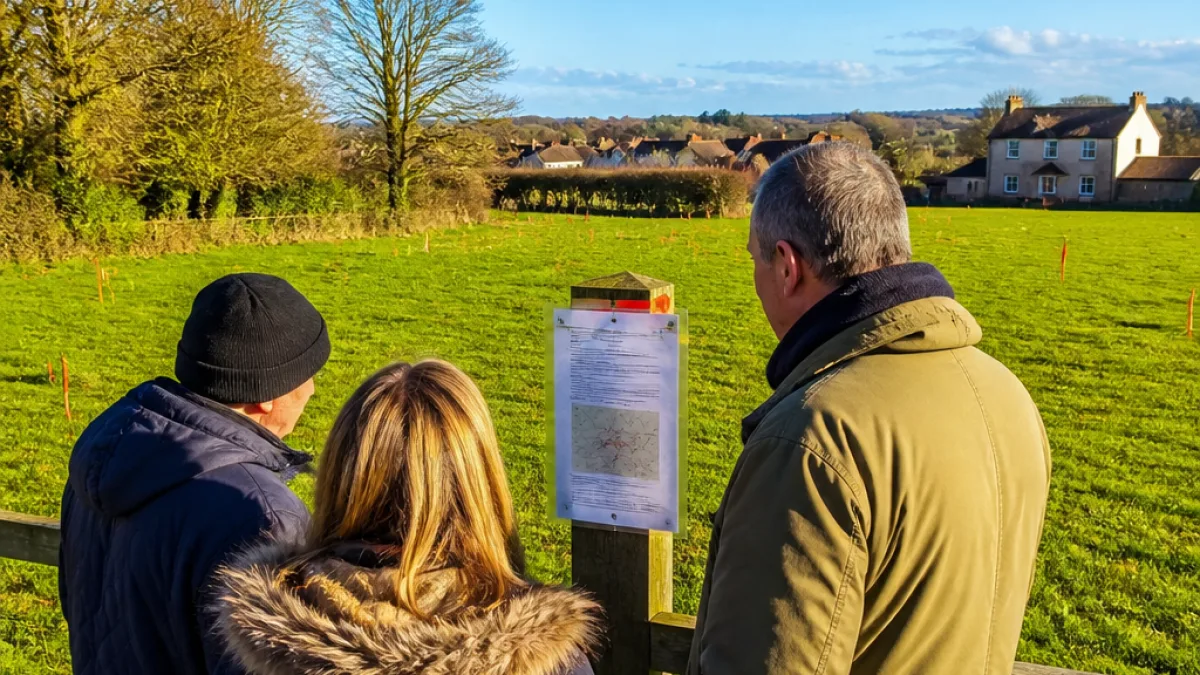
Plans have been submitted to Bolton Council to construct a single house on land near Bottom o' the Moor in Harwood, a move that raises questions about development on protected green belt land. The application, lodged on 28 July by June Borek, relates to a parcel of land to the east of Heights Farm on Roading Brook Road.
Applicant says site is 'grey belt' not green belt
The planning statement accompanying the application contends the plot should be considered grey belt for decision-making purposes rather than green belt, arguing the modest proposal would not create an "incongruous pattern of development". It also notes natural features around the site, including tree lines, which the applicant says would limit visual impact and contain the development.
"If developed, it is not considered that it would result in an incongruous pattern of development, particularly given the small scale of the proposals."
The document goes on to assert the site "does not form a substantial gap between the towns of Bury and Bolton nor would it result in visual separation of the towns." It also describes the plot as "more than large enough" to accommodate one house without an "unacceptable impact" and claims the proposed dwelling would be "no less sustainable" than existing nearby homes.
What the application says and what it means locally
The planning papers make several points that will be considered by council planners and, if objections are raised, by local councillors or a planning inspector on appeal. Key factors likely to influence the decision include:
- Whether the site should remain designated green belt under the local plan or be treated as grey belt for the purposes of this proposal.
- The visual and landscape impact of a new dwelling, including effects on openness and separation between settlements.
- Local amenity, access and whether the site is sustainable compared with neighbouring properties.
Because the proposal is for a single dwelling, the applicant emphasises its limited scale as a material consideration. That argument is commonly used in small-scale rural applications; however, national and local policy generally sets a high bar for development on green belt land.
Practical information for local residents
Residents who wish to view the application or submit comments should consult Bolton Council's planning portal, where details of applications and supporting documents are published. Comments made during the consultation period will be considered as part of the council's assessment.
| Item | Detail |
|---|---|
| Applicant | June Borek |
| Location | Land east of Heights Farm, Roading Brook Road (Bottom o' the Moor), Harwood |
| Date submitted | 28 July |
| Proposal | Single dwelling on land currently designated green belt |
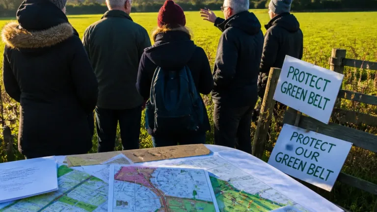
Decisions on such applications typically turn on planning policy and local circumstance. If the council refuses the application, the applicant may have the right to appeal. Conversely, approval could prompt scrutiny from campaigners who seek to protect green belt boundaries around Bolton.
This application is one in a continuing series of proposals that test how green belt land is interpreted in practice. Neighbourhoods like Harwood, close to the urban edge, frequently see debates about where to allow modest infill or new homes while maintaining the countryside that residents value.
InfoRadar will monitor the council's planning portal for updates and any public consultation dates or decision notices relating to this application.