Halton forecast signals intense heat to begin the week
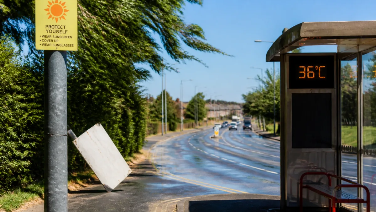
A blast of hot, unsettled weather is gripping Halton Hills today, with temperatures and humidity combining to produce extremely uncomfortable conditions. The latest outlook indicates a daytime high near 36°C and a humidex of 44, alongside brisk west winds at 30 km/h and gusts that could reach 50 km/h. The UV index is listed as 9 (very high), underscoring the intensity of the sunshine expected once skies clear this morning.
After sunset, the heat is set to linger. Tonight is forecast to remain clear, with a low of around 24°C and westerlies continuing at roughly 30 km/h, again gusting towards 50 km/h. Conditions begin to moderate midweek, though warmth and some humidity persist through to the weekend.
Midweek moderation, but warmth holds on
On Wednesday, the forecast points to a blend of sunshine and cloud. Winds are expected to shift, becoming northwesterly at 20 km/h with gusts up to 40 km/h in the morning. The temperature should ease to about 31°C, with a humidex of 35, before a milder night around 19°C under intermittent cloud.
Thursday maintains the theme of warm conditions with a mix of sun and cloud and a projected high close to 30°C, slipping to about 18°C overnight with more cloudy periods.
Into the weekend: cloudier skies and shower chances
As the week progresses, skies look to become more changeable with increasing cloud and intermittent rain chances. Friday is expected to be largely cloudy with a 30% chance of showers and a daytime high around 28°C. By Friday night, the chance of precipitation edges up to 40%, with the temperature near 17°C.
Saturday follows a similar pattern, with extensive cloud cover and a 30% chance of showers, topping out close to 27°C before a cloudy night at about 16°C. Looking ahead to Sunday, expect a mix of sun and cloud and another 30% chance of showers, with daytime values holding near 27°C and cooler air settling in by nightfall around 15°C. The new week starts on a steadier note, with Monday forecast near 26°C under a blend of sun and cloud.
At a glance: the week ahead for Halton Hills
| Period | Conditions | High / Low | Wind | Notes |
|---|---|---|---|---|
| Today (Tue) | Clearing, sunny | 36°C / — | W 30 km/h, gusts 50 | Humidex 44; UV 9 (very high) |
| Tonight | Clear | — / 24°C | W 30 km/h, gusts 50 | Warm overnight |
| Wed | Sun/cloud mix | 31°C / — | NW 20 km/h, gusts 40 | Humidex 35; UV 9 |
| Wed night | Cloudy periods | — / 19°C | — | — |
| Thu | Sun/cloud mix | 30°C / — | — | — |
| Thu night | Cloudy periods | — / 18°C | — | — |
| Fri | Cloudy, 30% showers | 28°C / — | — | — |
| Fri night | Cloudy, 40% showers | — / 17°C | — | — |
| Sat | Cloudy, 30% showers | 27°C / — | — | — |
| Sat night | Cloudy | — / 16°C | — | — |
| Sun | Sun/cloud, 30% showers | 27°C / — | — | — |
| Sun night | Cloudy periods | — / 15°C | — | — |
| Mon | Sun/cloud mix | 26°C / — | — | — |
What the forecast highlights
- Today brings the most intense heat, with a peak near 36°C and a humidex of 44, coupled with strong westerly gusts.
- Temperatures step down modestly from Wednesday, but values in the high 20s to low 30s persist through the weekend.
- Cloud cover increases later in the week with intermittent, low-probability shower chances from Friday into Sunday.
Today: “Clearing this morning. Wind west 30 km/h gusting to 50. High 36. Humidex 44. UV index 9 or very high.”
Residents planning outdoor activities in Halton Hills may wish to keep a close eye on changing skies and wind gusts, particularly during the hottest part of the day, and take note of the very high UV reading flagged in the official outlook.