
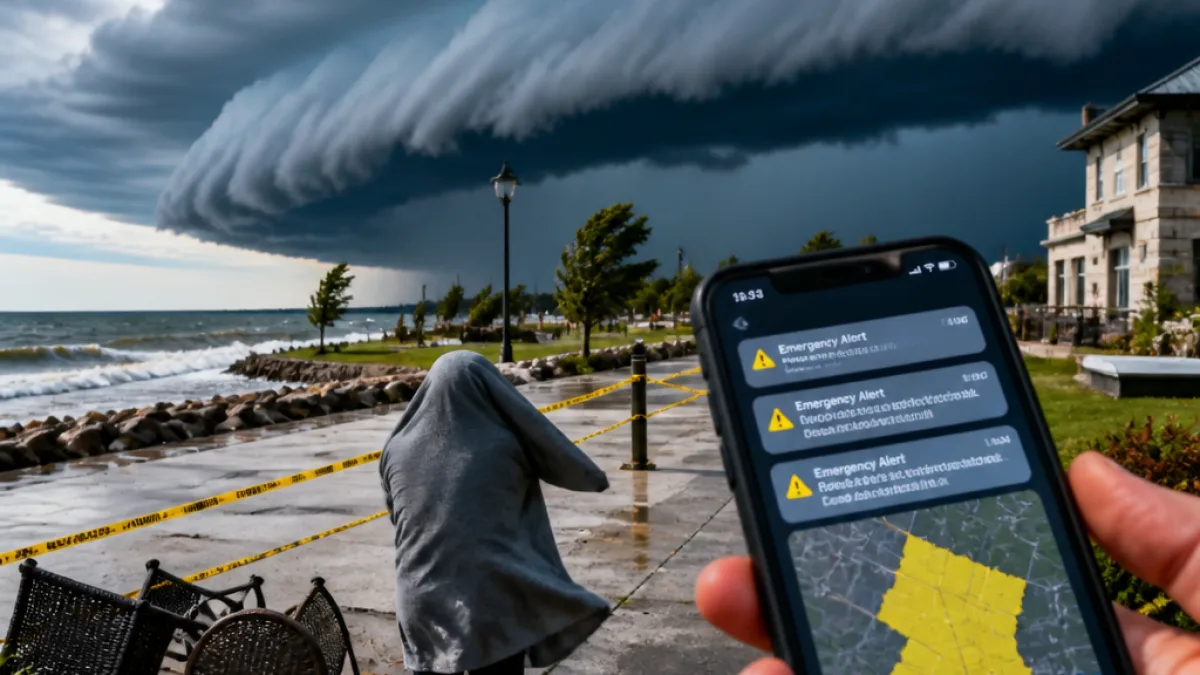
Environment Canada briefly issued a red-level tornado warning for parts of Halton on Saturday after tracking a severe thunderstorm east of Milton that was moving southeast towards Oakville and Mississauga. The warning prompted urgent shelter advice for residents before being called down later in the afternoon.
What happened and where
At around mid-day, meteorologists identified a thunderstorm cell just east of Milton moving at approximately 40 km/h towards the south‑east. The service indicated the system could be producing a tornado and warned of associated hazards including strong winds, large hail and heavy rainfall. Phones across the region briefly received emergency alerts.
"This is a very dangerous and potentially life-threatening situation. Take cover immediately..."
The warning listed Milton, Mississauga and Oakville among locations that could be affected. Authorities later downgraded the alert after the threat diminished, but the episode coincided with other advisories for the Greater Toronto Area: a yellow thunderstorm warning for damaging gusts and hail, and a yellow air-quality advisory.
Key hazards and safety advice
Environment Canada and local emergency management urged residents to take the following precautions if severe weather approaches:
- Seek immediate shelter in a basement or interior room away from windows.
- Avoid driving where possible; expect difficult conditions from heavy rain.
- Stay well away from rivers and shorelines due to potential overflow from intense rainfall.
- If on the water, return to shore and find shelter or lie face down wearing a lifejacket if caught by a tornado.
Emergency Management Ontario guidance was cited in the alert, which encouraged people to continue monitoring Environment Canada forecasts and to report severe weather through local reporting channels.
Local impact and context
The temporary red alert prompted at least one local event postponement as officials weighed public safety while the storm approached. The Toronto and Region Conservation Authority issued a flood outlook citing high rainfall intensities, advising people to steer clear of rivers and other watercourses that may flood.
| Hazard | Forecast detail |
|---|---|
| Wind | Strong, up to 90 km/h reported in the warning text |
| Rain | Locally intense; heavy rainfall of 15–30 mm cited for affected cells |
| Hail | Large hail possible |
While the most acute threat passed and the red warning was called down, the combination of heavy rain, gusty winds and hail kept conditions hazardous for parts of Halton through the afternoon. Residents should keep phones charged for alerts, avoid flooded routes and follow updates from Environment Canada and local emergency services.