The Scottish Environment Protection Agency (SEPA) has revised flood-warning boundaries in the Scottish Borders, creating two additional, more localised alert zones and prompting officials to urge residents to check their warnings.
What has changed
In the latest update to its forecasting models, SEPA has carved the long-standing flood warning area for Selkirk into two separate sections: Philiphaugh to Bannerfield and Murrays Cauld to Riverside Industrial Estate. Similarly, the stretch previously covered by the single Preston to Paxton warning has been split into Preston to Allanton and Allanton to Paxton.
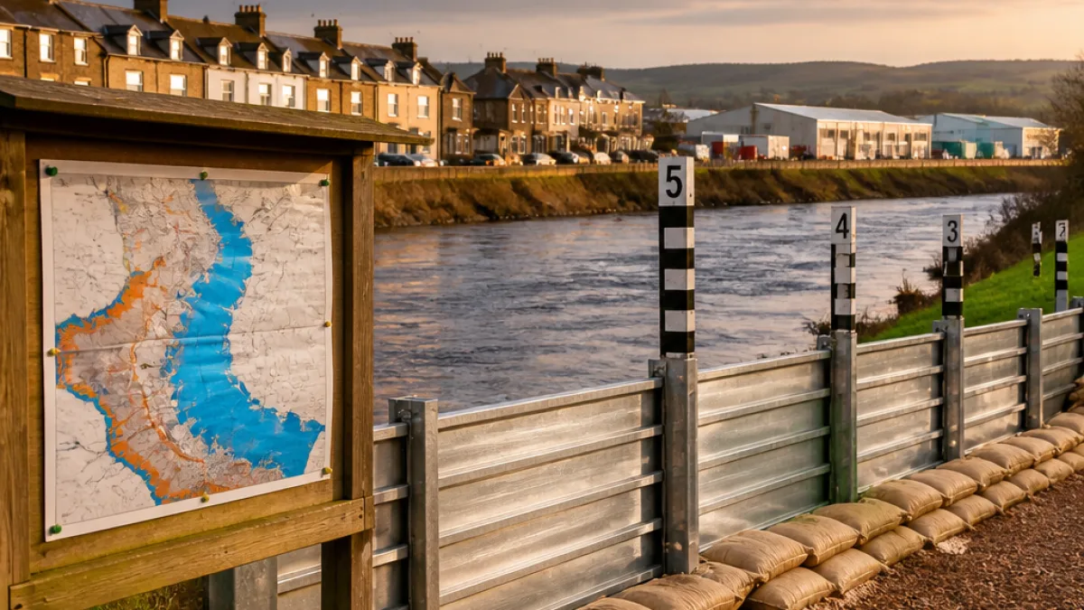
SEPA says the revisions draw on data from previous flood events and account for both existing and recently introduced flood defences. The changes bring the total number of flood warning areas across the Borders to 30, including the two new sections.
What residents should do
People living or working in the affected areas are being advised to verify which specific warning area they are signed up for via Floodline. Those already receiving messages should double-check to ensure they are getting alerts for the correct new sector.
- Confirm your Floodline subscription covers your new local area.
- Update contact details to receive free alerts by phone, text or email.
- Familiarise yourself with local flood defences and evacuation routes.
The guidance from SEPA is straightforward: finer-grained warning areas allow more precise messages to communities at risk and can improve local response times when river levels rise.
Quick reference: warning-area changes
| Previous area | New areas |
|---|---|
| Selkirk | Philiphaugh to Bannerfield Murrays Cauld to Riverside Industrial Estate |
| Preston to Paxton | Preston to Allanton Allanton to Paxton |
Locally, the River Tweed corridor and tributaries around Selkirk have a long memory of high flows; changes to forecasting and delineation seek to reflect the complex local topography and patterns of past flooding.
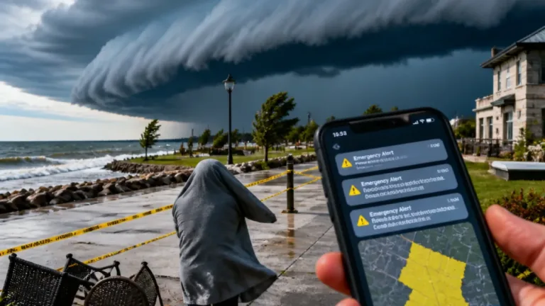
Residents in the Borders can sign up for SEPA Floodline alerts free of charge. Messages are delivered by phone, text or email and are intended to provide timely information so householders and businesses can take protective action.
For now, the update is administrative and aimed at improving warning accuracy. However, the practical effect is to narrow the footprints of warnings so that they apply to smaller, more clearly defined stretches of river and low-lying land, enabling a more tailored response from communities and emergency planners.
Those unsure which new area they fall into should consult SEPA's maps or contact local council emergency planning teams for clarification.
Contact and sign-up: Floodline — residents can register for warnings and amend contact details via SEPA's Floodline service.