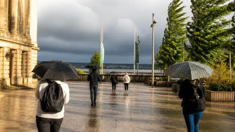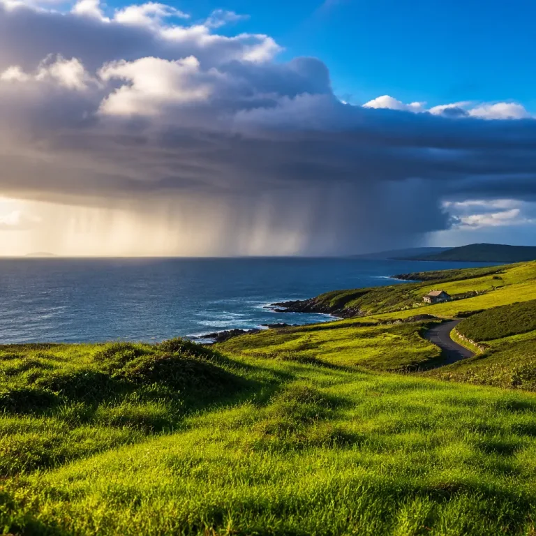
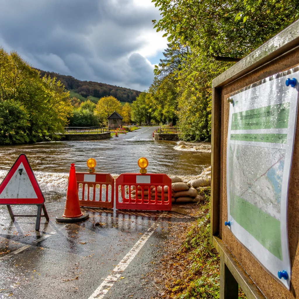
The National Weather Service in Blacksburg issued a Hazardous Weather Outlook at 2:22am on Sunday, putting large swathes of Virginia, northwest North Carolina and parts of southeast West Virginia under a Flood Watch that remains in effect through late tonight. Forecasters warned storms will continue to pose threats into the middle of the week.
Where and when
The Flood Watch applies to counties across three states. Affected counties named by the NWS include, among others, Tazewell, Smyth, Roanoke and Rockbridge in Virginia; Watauga, Wilkes, Ashe and Surry in North Carolina; and Mercer, Greenbrier and Summers in West Virginia. The watch is active through late tonight, with additional thunderstorms expected each afternoon and evening through Wednesday.
Threats and expected impacts
Forecasters say thunderstorms this afternoon and evening could produce:
- Localized damaging wind gusts
- Frequent lightning
- Pockets of heavy rainfall capable of producing flash flooding
Beyond tonight, the outlook extends across Monday through Saturday, with repeated late-afternoon and evening thunderstorm development forecast through at least Wednesday. The combination of repeated storms and heavy downpours raises the risk of rapid runoff and flash-flooding in vulnerable locations.
"Flood Watch Remains In Effect Through Late Tonight…"
Forecast action and spotter request
The NWS urged residents to monitor conditions via NOAA Weather Radio and its website for updates. Weather spotters were asked to report instances of flooding and any storm wind damage to help forecasters assess evolving conditions on the ground.
| State | Sample counties named |
|---|---|
| Virginia | Tazewell, Smyth, Roanoke, Rockbridge, Bland, Giles |
| North Carolina | Watauga, Ashe, Wilkes, Surry, Stokes, Yadkin |
| West Virginia | Mercer, Summers, Monroe, Greenbrier |
Practical safety guidance
Given the multi-hazard nature of these storms, residents in the watch area should take the following precautions:
- Keep up-to-date with local NWS statements and warnings via weather.gov or NOAA Weather Radio.
- Avoid driving through flooded roads — turn around, don’t drown — as flash flooding can rise rapidly.
- Be prepared for power interruptions and falling debris during strong gusts; secure outdoor items where possible.
- When thunder roars, go indoors; frequent lightning poses a significant personal risk.
The outlook was issued as part of routine NWS forecasting for the Blacksburg area and surrounding counties. Forecasters will update the public if conditions deteriorate or if watches escalate to warnings.