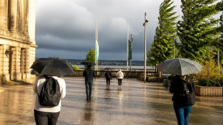
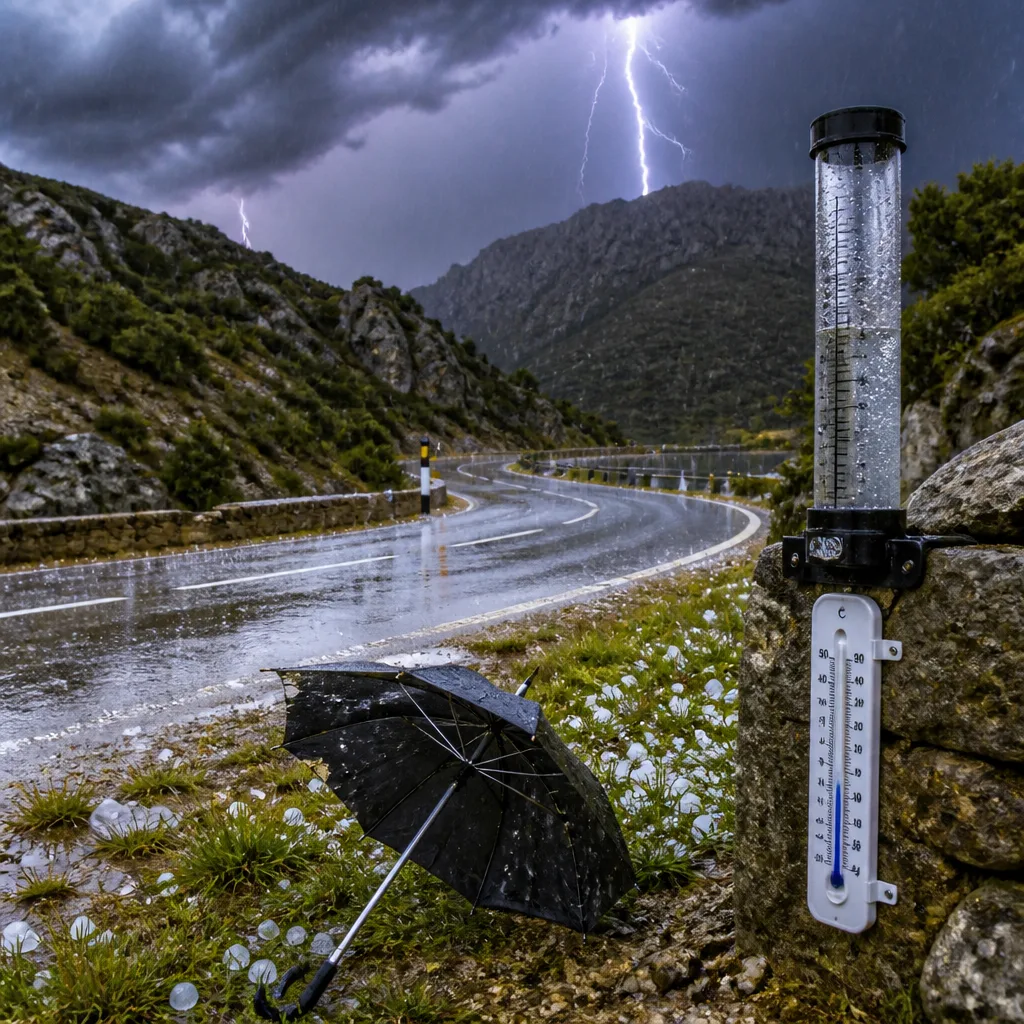
An upper‑level trough moving across north‑eastern Spain has forced a marked change in conditions, producing intense convective storms, locally heavy rainfall and a general fall in temperatures, forecasters report.
Thunderstorms, hail and rapid rainfall accumulations
The clash between colder air from higher latitudes and warmer, moister low‑level air generated vigorous vertical development of convective clouds. These storms produced electrical activity, hail and even sleet in places such as Arbúcies.
By mid‑afternoon on Saturday, parts of the region had already recorded significant short‑term rainfall totals, with up to 35 l/m² reported in Sant Llorenç Savall and between 15–30 l/m² across areas around the Montseny massif.
Sunday: unsettled weather and noticeably cooler conditions
Forecasters expect the unsettled pattern to persist into Sunday. Early in the day there will be coastal and pre‑coastal thunderstorms, with the potential for very intense bursts: some cells could produce 20–30 l/m² in half an hour in localised areas.
Although morning cloud and residual showers should clear in places, further convective development is anticipated from midday. The greatest risk of renewed showers and storms is expected in the north‑east, particularly over the Pyrenees, eastern pre‑Pyrenees and the corridor between Girona and Barcelona. Some storms could be locally intense and may bring hail or sleet in sectors such as Guilleries‑Collsacabra, the Montseny massif and southern Baix Empordà.
Winds, swell and temperature impacts
Strong regional winds are expected to accompany the changeable conditions. The mistral will blow with strong gusts in Camp de Tarragona and the Ebre area, while the tramontana will raise a considerable swell north of Cap de Creus.
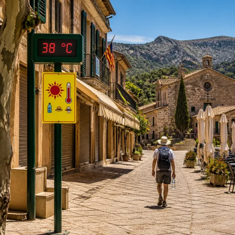
The arrival of the colder air mass will lead to a widespread lowering of temperatures. Maximum values will be substantially reduced from the earlier heat: most of the highest daytime readings are forecast to fall into the range of 27–33°C in Ponent, while inland and mountain areas will see maxima 6–11°C lower than those recorded on Thursday.
| Location | Observed / Expected |
|---|---|
| Sant Llorenç Savall | up to 35 l/m² (by mid‑afternoon Saturday) |
| Montseny area | 15–30 l/m² (by mid‑afternoon Saturday) |
| Coastal cells (local) | 20–30 l/m² in 30 minutes (possible) |
Practical guidance
Given the potential for rapid, intense rainfall and electrified convection, the following precautions are advisable:
- Avoid travelling through areas of active storms where possible; heavy rain may reduce visibility and produce localised flooding.
- Be cautious near rivers and low‑lying urban drainage routes — short‑lived but intense downpours can overwhelm drains.
- Keep away from exposed high ground and isolated trees during electrical storms; hail can also cause vehicle and property damage.
Authorities and weather services will continue to monitor developments. The region can expect a more bearable pattern compared with the extreme heat of recent weeks, but the transition brings its own hazards in the form of convective storms and gusty winds.