
Severe thunderstorms are expected to threaten the Cincinnati Tri-State on Tuesday, with the U.S. Storm Prediction Center placing much of the region under an Enhanced Risk (Level 3 of 5). Forecasters warn of a heightened potential for damaging straight-line winds, with the added risk that a few tornadoes and pockets of flash flooding cannot be ruled out.
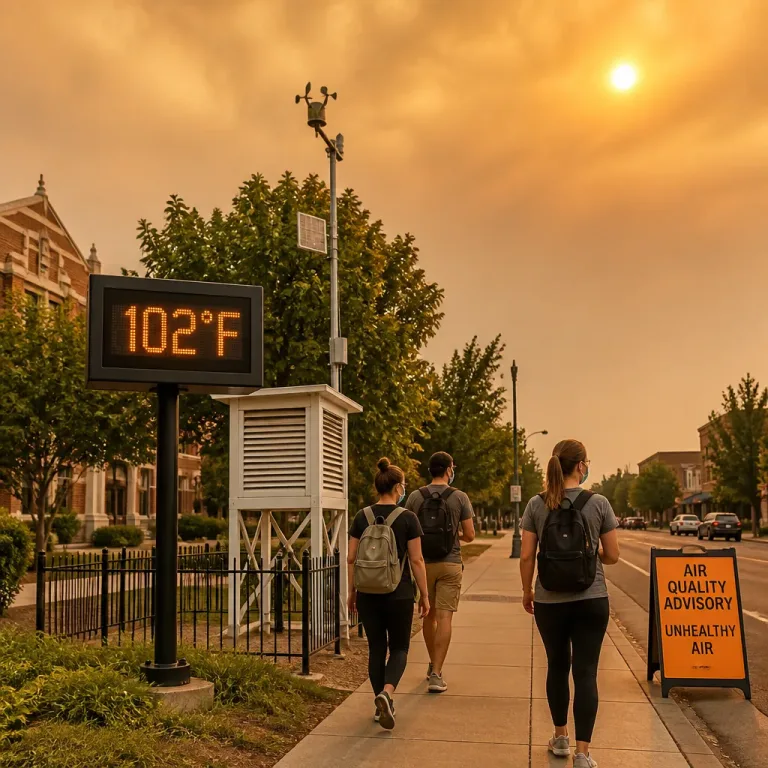
Conditions on Monday are warm and muggy, with highs near 88°F, a hazy sun and wildfire smoke lingering high in the atmosphere. Most communities are likely to stay dry through the day, and only an isolated shower or storm is expected. The set-up changes markedly on Tuesday, when several rounds of storms could sweep the area from early morning through late evening, before clearing later at night.
Timing and threats
Forecasters indicate the first wave could arrive as early as 7–8 a.m. Tuesday, followed by additional rounds into the afternoon and evening. The principal hazard is damaging winds, which can down trees and power lines, with isolated tornadoes and localised flash flooding also possible if storms train over the same locations or produce intense rainfall in a short time.
One key uncertainty is the influence of any morning storms on later development. If the early activity lingers, it could reduce daytime heating and limit the intensity of storms later. However, forecasters caution that this outcome is not guaranteed; the atmosphere could still recover and become sufficiently unstable to support severe thunderstorms in the afternoon and evening.
What follows after the storms
The unsettled spell looks short-lived. Showers should end early Wednesday, ushering in sunshine, lower humidity and noticeably cooler readings with highs in the upper 70s. Thursday appears similarly comfortable with temperatures around 80°F, before heat and humidity gradually build again heading into the weekend.
At-a-glance outlook
| Period | Weather | Temperatures |
|---|---|---|
| Monday | Warm, humid, hazy; most stay dry, isolated shower/storm possible | High near 88°F |
| Tuesday | Enhanced Risk severe storms; damaging winds main threat; few tornadoes/flash flooding possible | Variable |
| Wednesday | Showers end early; turning sunny with lower humidity | Highs in upper 70s |
| Thursday | Pleasant and comfortable | Around 80°F |
How to prepare
- Monitor official alerts on Tuesday and have multiple ways to receive warnings, especially during the morning commute and the late-day period.
- Secure or bring indoors loose outdoor items ahead of potential strong winds.
- Never drive through flooded roads; turn around if water is covering the route.
- If a tornado warning is issued, move to an interior room on the lowest floor away from windows.
While the precise evolution will depend on how the first round of storms behaves, the overall signal for multiple storm rounds and a broad-based severe risk on Tuesday is clear. Residents across the Tri-State should keep plans flexible, stay weather-aware from early morning through the evening, and be ready to act quickly if warnings are issued. A more settled, cooler pattern is set to return by midweek.