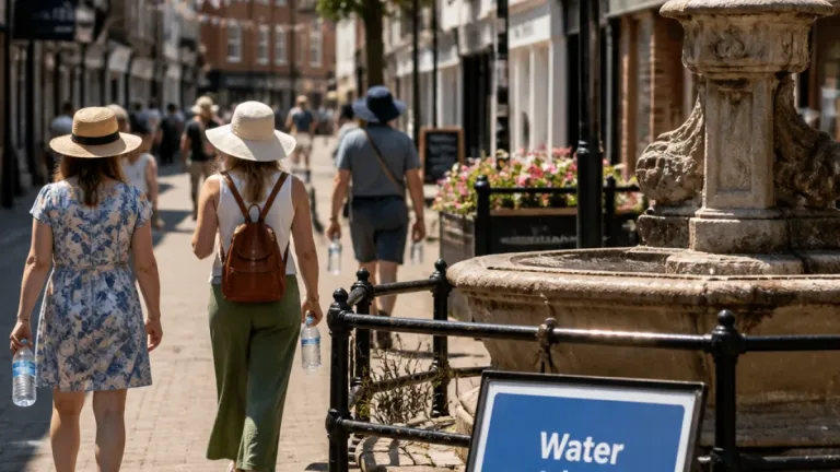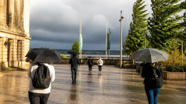
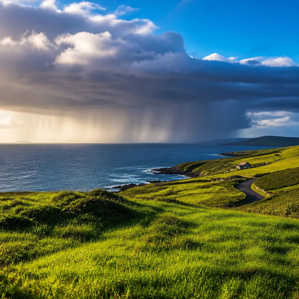
The long run of warm, sunny weather that dominated much of the past month will give way to more unsettled conditions this week, with Met Éireann forecasting widespread showers and a modest fall in daytime highs.
What to expect this week
Although the high-pressure system responsible for the recent fine spell will remain in the region for the coming seven days, it is expected to become less stationary, allowing Atlantic fronts to push in and bring rain at times.
This morning starts broadly cloudy and dry in many areas, but rain will spread from the west. Forecasters say the initial light rain will move northeastwards, turning heavier across parts of the southwest and west during the afternoon. Daytime temperatures are generally set to be in the range of 14C to 20C.
“Showery conditions will dominate the weather,” said Met Éireann, adding that the high pressure will remain but be less stationary.
- Bank Holiday Monday: mainly cloudy with rain spreading widely; heaviest showers in the evening. Highest readings of 18C–23C.
- Monday night: persistent heavy showers; lows broadly 12C–16C.
- Tuesday: cloudy and humid with the worst rain over Connacht and Ulster; top temperatures near 23C, falling to 12C–15C overnight.
- Wednesday: the most marked daytime drop, with highs of 14C–19C and breezy conditions.
- Thursday: drier and brighter with a mix of sun and showers; highs around 15C–19C.
Practical consequences
Commuters and outdoor workers should prepare for variable conditions and the possibility of heavy, short-lived downpours, particularly in western and north-western counties. Temperatures will be noticeably lower than in the recent warm spell, so carry waterproofs and a light layer for the cooler, breezier days midweek.
| Day | Expected high (C) | Notes |
|---|---|---|
| Today | 14–20 | Cloudy; rain spreading from west |
| Mon (Bank Holiday) | 18–23 | Cloudy with evening heavy showers |
| Tue | Up to 23 | Humid; worst rain in Connacht and Ulster |
| Wed | 14–19 | Breezy with a clear temperature drop |
| Thu | 15–19 | Drier and brighter, showers possible |
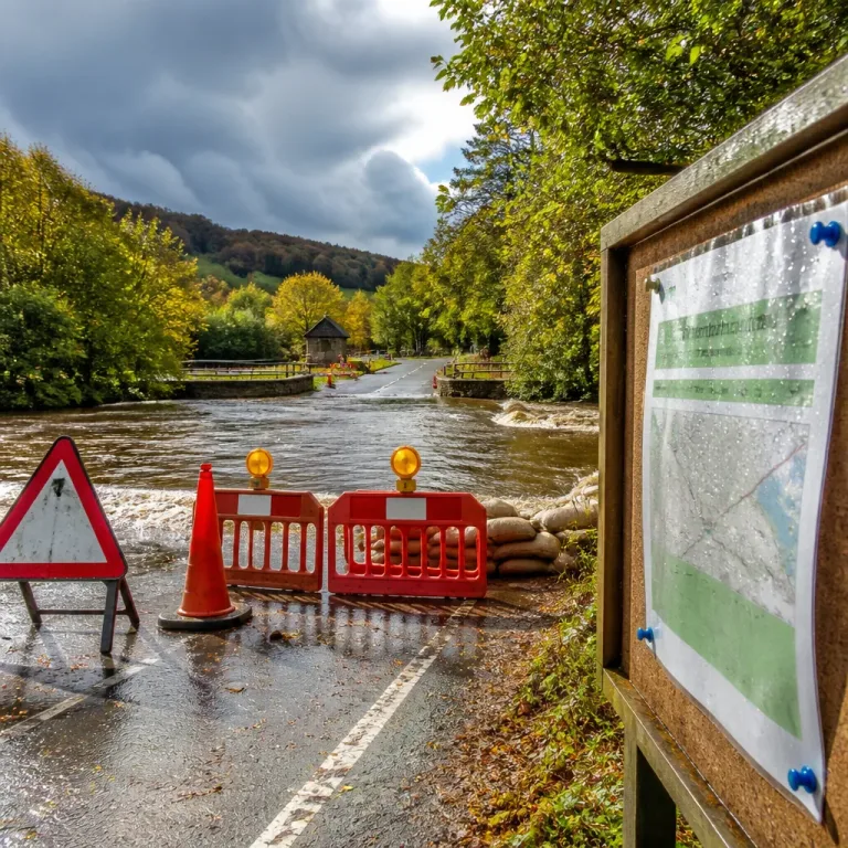
While the changes are not extreme, the shift from prolonged settled conditions to more frequent showers increases the risk of localised surface water and travel disruption during heavier bursts of rain. Monitor local updates from Met Éireann if you have outdoor plans over the Bank Holiday and into the middle of the week.
Summary: expect a steadier presence of showers, a cooling trend through midweek and a return to more changeable weather as the high pressure becomes less dominant.