A recent LIDAR survey of southwestern Amazonia has dramatically expanded the known footprint of a pre‑Columbian society, suggesting the so‑called Aquiry communities created as many as 30,000 geometric earthworks and may have sustained a population of up to 3 million people at their peak around 200 CE.
New view of an engineered landscape
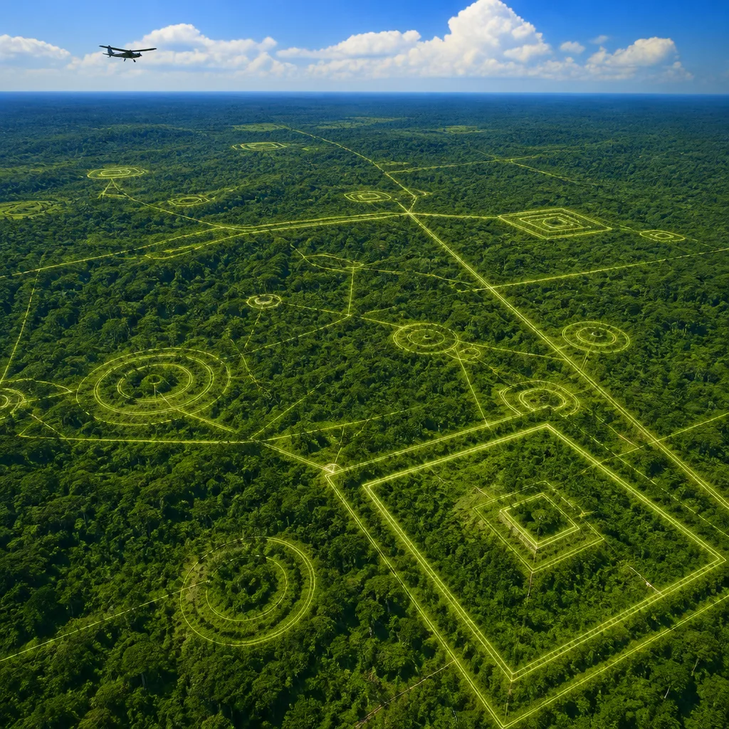
The structures, composed of deep ditches forming geometric enclosures and connected by remarkably straight roads, were identified beneath forest canopy by airborne laser scanning. Researchers say the features indicate a network of communities linked by shared cultural practices rather than a single centralised state. The sites appear to have served as locations for large gatherings — possibly ceremonial or political — rather than permanent urban settlements.
The Aquiry culture takes its name from an Indigenous word used for the Acre River, which traverses parts of modern‑day Peru, Bolivia and the Brazilian state of Acre, the heartland for many of the newly detected sites. The civilization flourished between roughly 600 BCE and 850 CE, according to the study.
Researcher reaction and significance
"I first experienced such a moment in 2002, when I flew with Alceu Ranzi and Sanna Saunaluoma over the monumental geometric earthworks... It completely transformed my understanding and made me realize how mistaken earlier assumptions had been. More recently, I felt something similar when I came to understand that there may actually be up to ten times more of these earthworks in the region than I had previously imagined."
The reflection comes from archaeo‑anthropologist Martti Pärssinen of the University of Helsinki, who has worked extensively in the region and described both the original aerial discoveries and the shock of recognising the scale revealed by recent LIDAR data.
What we can and cannot yet say
The evidence derives from topographic mapping and aerial imagery rather than written records; the Aquiry left no known texts and few surviving domestic structures. Interpretations about population size and social organisation rest on the density and distribution of earthworks and roads, and on comparisons with other archaeological contexts. While the new figures greatly increase the estimated scale of human activity in this part of Amazonia, they do not yet provide detailed accounts of political structure, economy or daily life.
- Estimated earthworks: up to 30,000
- Peak population estimate: as many as 3 million around 200 CE
- Period of activity: approximately 600 BCE–850 CE
| Element | Value |
|---|---|
| Maximum earthworks identified | ~30,000 |
| Estimated peak population | Up to 3,000,000 (circa 200 CE) |
| Active timeframe | 600 BCE–850 CE |
The findings contribute to a growing body of research that challenges long‑standing views of the Amazon as an untouched wilderness prior to European contact. They underscore the capacity of Indigenous peoples to shape tropical forest environments at large scales and highlight the potential of remote sensing technologies to reveal buried or forest‑covered archaeological landscapes.
Further fieldwork will be required to date individual sites precisely, to understand the functions of specific earthworks and roads, and to connect the aerial imagery with artefacts and ecological evidence on the ground. Even so, the current results call for a reassessment of demographic and cultural models for lowland South America in the first millennium CE.
InfoRadar will follow developments as teams undertake on‑the‑ground surveys and publish detailed analyses of the LIDAR dataset.