An Extreme Heat Warning has been issued for sections of the Mid‑South ahead of a sustained spell of oppressive heat and humidity from 11am Sunday to 8pm CDT on Tuesday. Forecast heat‑index readings are expected to climb into the low‑to‑mid 110s °F in places, elevating the risk of heat‑related illness.
Where and when the heat will be worst
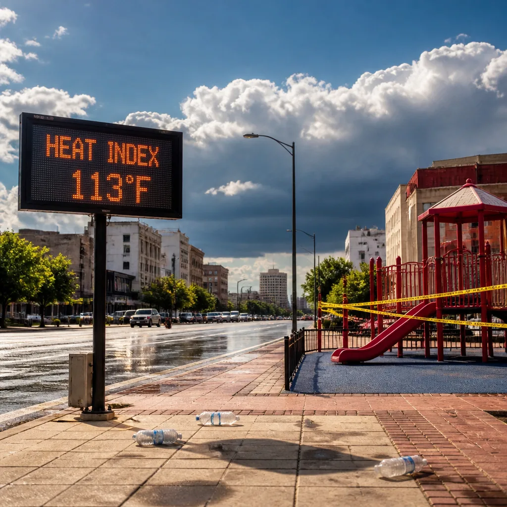
The warning covers portions of East Arkansas, North Mississippi, Southeast Missouri and West Tennessee. The National Weather Service advisory specifically forecasts heat‑index values up to about 113°F during the period. Authorities note that heat‑related illnesses such as heat exhaustion and heat stroke become significantly more likely during prolonged exposure to these conditions.
Concurrent thunderstorm impacts near Memphis
In addition to the heat threat, radar tracked a strong thunderstorm moving southeast near Meeman Shelby Forest State Park earlier on Saturday evening. That cell produced wind gusts up to 40mph and torrential rainfall, with warnings that lightning and localized flooding were occurring.
- Primary thunderstorm hazards reported: 40mph wind gusts, heavy rain and frequent cloud‑to‑ground lightning.
- Travel corridors noted in the storm bulletin include stretches of I‑40, I‑240 and I‑55 in Arkansas and Tennessee.
Health and safety guidance
Public advisories emphasise pragmatic steps to reduce risk during extreme heat and while storms are possible:
- Stay hydrated and drink plenty of fluids.
- Remain in air‑conditioned environments where possible; seek shelter if you lack cooling at home.
- Avoid prolonged sun exposure and strenuous outdoor activity during peak heat hours.
- Check on vulnerable neighbours, the elderly and those without access to cooling.
- When thunderstorms occur, seek safe shelter indoors or inside a vehicle; do not drive through flooded roadways.
Impacts and preparedness
Officials warn that heat‑related illnesses will rise during the event. The combination of high humidity and high temperatures means that the body’s ability to cool itself is impaired, so even otherwise healthy people can experience heat stress if they are active outdoors or lack cooling. The storm report also underlines the potential for tree damage and blown‑around debris where gusts reach 40mph, a concern for both residences and motorists.
| Element | Details |
|---|---|
| Warning period | 11am Sunday – 8pm CDT Tuesday |
| Forecast heat index | Up to about 113°F |
| Noted thunderstorm gusts | Up to 40mph |
Residents and travellers in the highlighted counties should treat the warning seriously, monitor local forecasts and heat advisories, and follow guidance from public‑health and emergency services. During thunderstorms, avoid exposed locations and heed flood and lightning warnings; during heat episodes, prioritise cooling, hydration and checks on at‑risk people.