
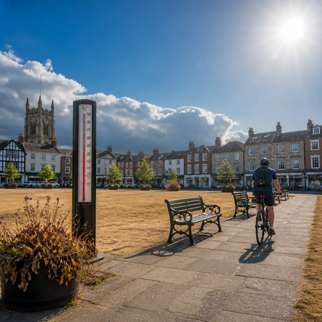
Much of England and Wales experienced a brief respite from intense heat at the weekend when cooler air reduced daytime maxima to around 20-24°C. For most places that brought an end to the third heat spell of the summer, but the break may be short-lived.
Where the heat persisted
Two weather stations — Usk in Wales and Exeter in the south-west — have continued to meet local heat criteria and are notable for having recorded a run of 20 consecutive days meeting those thresholds, the longest such stretch so far this year.
| Measure | Recent values |
|---|---|
| Typical daytime maxima after the cool change | 20–24°C |
| Longest local run so far | 20 days (Usk and Exeter) |
Forecast and risk
Meteorologists say high pressure is likely to establish itself close to the south of the UK in the coming week. That pattern tends to stall rain-bearing systems to the north and west, leaving the south and east drier and warmer. With that set-up, parts of southern England and Wales could see temperatures climb again, and isolated readings might approach the mid-30s Celsius in places.
"If only one or two stations reach heatwave criteria, that would not be defined as a heatwave."
The Met Office cautions that a handful of very warm readings would not automatically constitute a nationwide event: to be categorised as a heatwave, elevated temperatures must be sufficiently widespread and persistent.
Practical implications
Even a return to isolated hot days carries consequences. Local authorities, hospitals and businesses prepare differently for short-lived peaks than for prolonged spells of heat. The prospect of northerly and westerly rain becoming confined to places such as north‑west Scotland while the south heats up again means the impacts will be uneven across the country.
- Southern and eastern areas most likely to see the next rise in temperatures.
- Northern and western regions expected to remain cooler and wetter, especially north‑west Scotland.
- Single hot readings at a few stations will not meet the Met Office definition of a heatwave.
For now, the recent cool spell offers relief to many, but forecasters and public services will be watching pressure patterns closely. If the high pressure strengthens as predicted, residents in the south should prepare for the possibility of a renewed period of very warm weather later in the week.