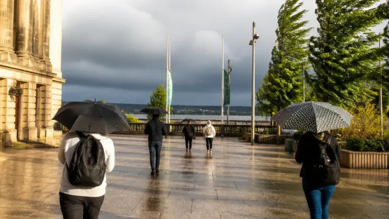
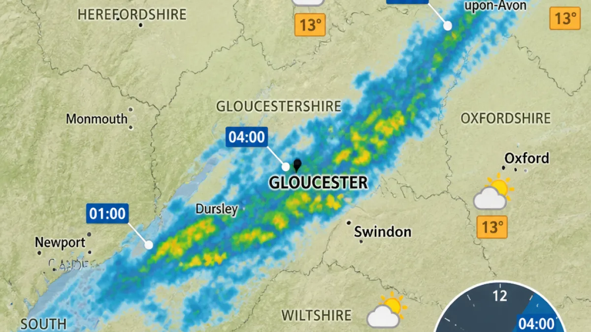
The Met Office is predicting a band of rain will pass across the South West in the early hours of Sunday, July 26, bringing much‑needed showers to parts of Gloucestershire after an extended spell of hot, dry weather.
When the rain is expected
Forecasters’ charts show the leading edge of the rain arriving in some parts of the South West before dawn. The timetable supplied by local weather services suggests a gradual northeastward track, with the heaviest of the band moving through Gloucestershire in the early morning.
| Time (BST) | Areas likely affected |
|---|---|
| 01:00, Sunday 26 July | Somerset (western fringes) – onward movement from Cornwall and Devon |
| 04:00, Sunday 26 July | Much of Bristol and Somerset; parts of Gloucestershire including Gloucester and Dursley |
| 07:00, Sunday 26 July | Most rain will have moved away; some showers may linger in southern Somerset |
| 10:00, Sunday 26 July | Localised downpours possible in parts of Somerset; region largely drying out |
What residents should expect
While the outlook points to a spell of rain sweeping through during the night and early morning, temperatures are still expected to remain on the warm side between showers. The band is not forecast to produce prolonged heavy rainfall across Gloucestershire, but short, sharp downpours are possible in places.
- Timing: most likely between 04:00 and 07:00 for central and southern parts of the county.
- Impact: brief disruption to the morning commute and outdoor plans; surfaces may be slippery after prolonged dry conditions.
- Afterwards: drying trend through late morning, though isolated showers could continue into the day.
Why the forecast matters locally
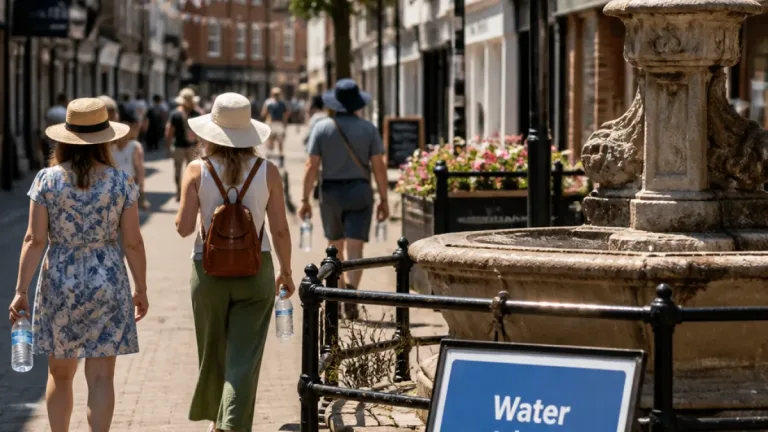
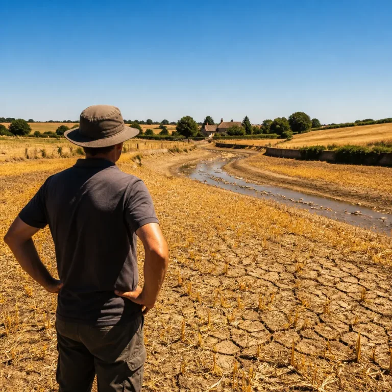
After weeks of warm, dry weather, even a short spell of rain can be important for gardens, parks and farmland. For motorists and cyclists the early‑morning timing means wet roads and reduced visibility could affect journeys. People planning outdoor events for Sunday morning should factor in the chance of showers and consider waterproofs or a sheltered alternative.
The Met Office has indicated that these pulses of rain could continue intermittently into next week, though overall conditions are expected to stay relatively warm. Anyone with time‑sensitive plans or responsibilities — such as farmers, market traders and those travelling early — may wish to check the latest radar and local forecasts before setting out.
Stay updated with the Met Office and local traffic reports for any changes or more detailed warnings as the weekend approaches.