
A significant storm system is expected to strike Southcentral Alaska late Wednesday and persist into Thursday morning, prompting a First Alert Weather Day for Anchorage and Eagle River and a series of local advisories for wind and flooding.
Key hazards and timing
Forecasters warn that strong southeast winds will increase from the early hours of Thursday, with the High Wind Advisory for the Anchorage area and Eagle River active from 01:00 until 12:00 Thursday. Sustained winds are expected in the 15–30 mph range with gusts typically between 35–50 mph, and higher gusts possible on elevated terrain. Heavy rainfall will move into the region Wednesday evening and continue through Thursday morning.
| Hazard | Expected values |
|---|---|
| Wind gusts | 35–50 mph, with some elevated spots >50 mph |
| Rainfall (Anchorage) | ≈0.5 inches or more |
| Rainfall (Wasilla, Palmer, Talkeetna) | Up to 2 inches |
Impacts and ongoing advisories
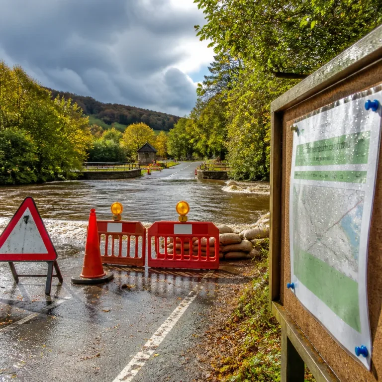
Authorities have extended a flood advisory for the Yentna River through Friday as consecutive rounds of rain continue to elevate river and stream levels across the Susitna Valley. Heavier totals — particularly the nearer-2 inch amounts forecast for parts of the valley — are sufficient to keep waterways dangerously high.
- Travel: Bridges and elevated highways will be most exposed to strong gusts; motorists should drive with caution.
- Outdoor safety: Secure loose items and postpone outdoor activities where possible.
- Power: Prepare for the possibility of outages in areas subject to the strongest gusts.
- Flooding: Avoid driving through flooded roadways and keep clear of swollen rivers and streams.
Forecasters note the positive aspect that the system is transient: conditions are expected to improve by Friday, with partly to mostly sunny skies returning and daytime temperatures warming into the upper 60s to lower 70s for the weekend.
Advice for residents
Residents in the affected corridor should monitor local updates and weather alerts, secure outdoor furniture and equipment, ensure flashlights and a phone-charging option are available in case of power loss, and avoid travel in areas prone to flooding until water levels recede.
InfoRadar will continue to track the system and publish updates on timing, rainfall accumulations and any changes to advisories as the situation evolves.