
After a brief spell of cooler conditions at the weekend, the Washington area is expected to shift back to a more typical late-July pattern with rising temperatures, increased humidity and the prospect of storms through the early week.
Temperatures and humidity
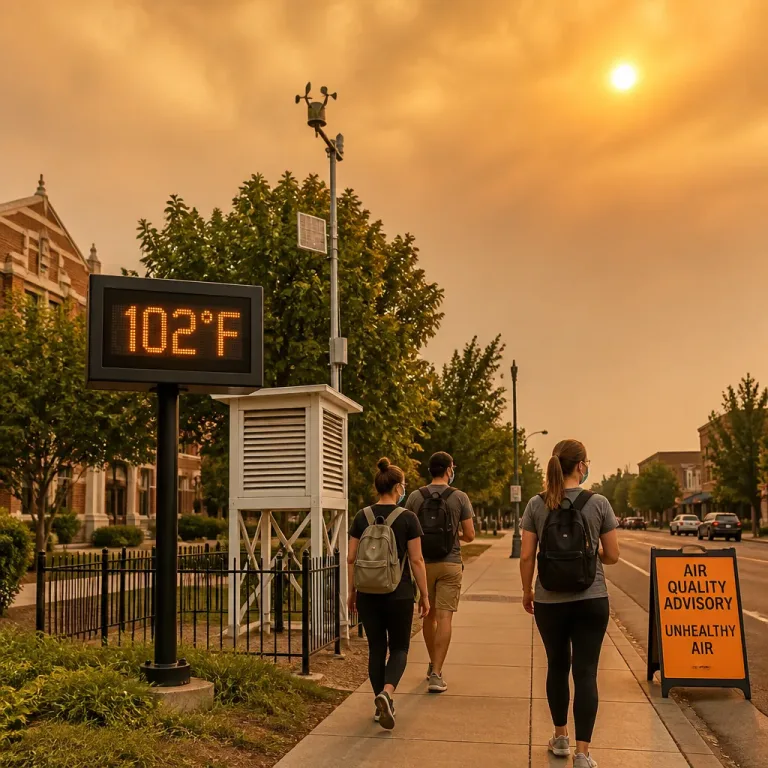
Highs are forecast to move closer to the seasonal average of around 90°F. With moisture increasing, the combination of heat and humidity will push local heat-index values into the mid-90s, raising the potential for heat-related discomfort for people spending extended periods outdoors.
Thunderstorm threat and timing
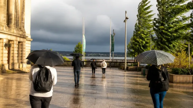
Forecasters indicate isolated to scattered showers and thunderstorms are possible by Monday afternoon. The Storm Prediction Center has placed the area under a Marginal (1 of 5) risk for severe weather for Monday — primarily for storms capable of producing damaging wind gusts, frequent lightning and heavy downpours.
- Monday afternoon: isolated to scattered storms possible; primary threat wind gusts, lightning, torrential rain
- Tuesday: a front approaches from the west, increasing the chance of more widespread showers and thunderstorms
- Tuesday–Wednesday: potential for stronger to severe storms with the frontal passage
Impacts and advice
Storms that produce heavy rainfall can quickly reduce visibility and create hazardous driving conditions, while strong downbursts can cause localized property damage and fallen branches. Elevated heat-index readings can also increase the risk of heat exhaustion for vulnerable groups.
| Metric | Forecast |
|---|---|
| Typical high (late July) | ~90°F |
| Expected heat index | Mid-90s °F |
| Severe risk (SPC) | Marginal (1/5) |
Practical steps to take now include keeping an eye on forecast updates, carrying a mobile phone to receive weather alerts, and avoiding prolonged outdoor exertion during the hottest hours. If thunderstorms form, seek a substantial shelter, avoid standing near trees or in open water, and postpone travel if roads become flooded.
A frontal system expected on Tuesday may broaden the area affected by showers and storms and increase the potential for stronger or severe cells; timing and exact coverage will be refined in subsequent forecasts.