Flood Watch for Cumberland County
The National Weather Service in Raleigh has issued a Flood Watch for Cumberland County, effective through Friday morning, as a series of heavy showers and thunderstorms moves across central North Carolina.
Forecasters say developing waves of rainfall are expected to produce 2 to 4 inches of rain across the region, with isolated totals possibly exceeding 6 inches in parts of the Triangle area. That pattern — repeated bouts of intense rain over the same locations — is the principal concern because it increases the chance of rapid runoff and flash flooding.
Areas at risk and current situation
The Flood Watch covers the whole of Cumberland County, including urban centres such as Fayetteville, Hope Mills and Spring Lake. Although the county itself was not included in the Flash Flood Warnings in neighbouring counties at the time the advisory was issued, the weather service reported that neighbouring Lee, Harnett and Moore counties had already seen up to 3 inches of rain in some places, with further intense bursts possible.
“Turn Around, Don’t Drown”
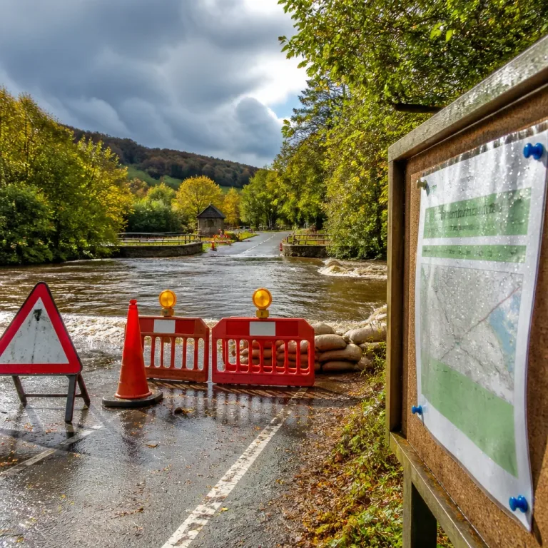
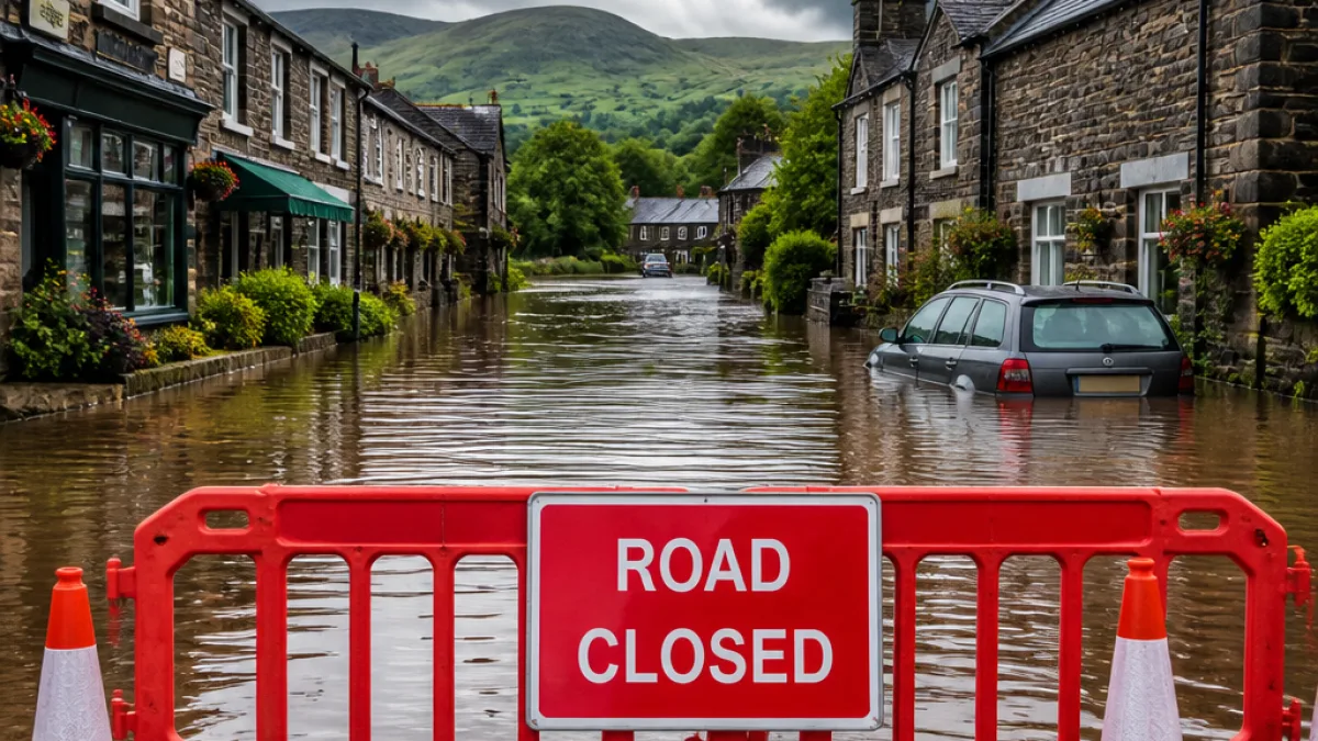
The NWS has reiterated its long-standing guidance to motorists: avoid driving through flooded roadways. Even shallow, fast-moving water can sweep vehicles from the road.
What residents should do now
- Monitor the latest forecasts from the National Weather Service and local media.
- Avoid travelling through low-lying areas, river crossings and roads with poor drainage.
- If you encounter standing or flowing floodwater on a road, do not attempt to drive through it.
Forecasters warn that the greatest flash-flooding potential is to the north and north-east of Cumberland County, but repeated heavy downpours can produce flooding anywhere within the advisory area. The evolving nature of the situation means residents should stay alert to any sudden changes, including the possible issuance of Flash Flood Warnings if radar or ground reports indicate rapidly rising water.
| Forecast element | Expected amounts |
|---|---|
| General rainfall | 2–4 inches |
| Isolated heavy totals | Up to 6 inches (in some Triangle locations) |
Local services and emergency responders will be monitoring conditions. Residents should ensure they have a way to receive weather alerts and be prepared to move to higher ground if necessary.