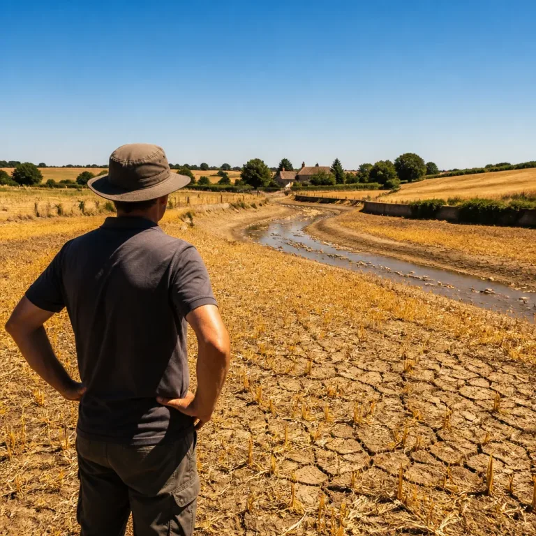
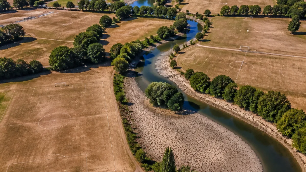
Drone photographs taken across Kent have laid bare the visual impact of prolonged dry weather, with once-green parks, playing fields and pasturelands reduced to brown, parched stretches.
Images capture the scale of the drought
The aerial shots, compared with archive images of the same locations during earlier, greener months, show a dramatic transformation in places such as Mote Park in Maidstone and the playing field in Wouldham. Riverbanks and surrounding grassland along the River Medway also display the effects of weeks without significant rainfall.
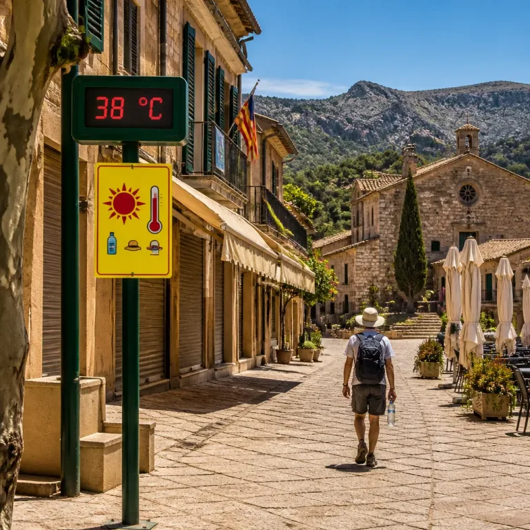
The Met Office has confirmed July was exceptionally dry nationwide: England recorded just 5.6mm of rain for the month, which is around 8% of the long-term average. Southern England fared worse, receiving only 1.5mm — roughly 2% of the region's typical July rainfall — while temperatures were about 1.8°C above average.
| Measure | Value |
|---|---|
| England July rainfall | 5.6mm |
| Southern England July rainfall | 1.5mm |
| Temperature anomaly | +1.8°C |
Local forecaster links pattern to long records
Kent weather recorder Lester Gosbee — who has been collecting Met Office-standard observations for decades — said the photographs reflect a long-term warming trend visible in the Central England Temperature series, which extends back to 1659. He warned that extremely warm Julys and Augusts have become more frequent.
"We keep breaking records. That's the worrying trend."
Mr Gosbee described the pictures as more than striking views; for him they are corroborating evidence of sustained change when combined with historical temperature records.
Consequences for farming and public safety
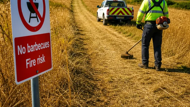
Farmers across Kent are already feeling the effects. Pasture that would normally provide grazing for much of the summer has dried out sooner than expected, increasing pressure on livestock management and feed supplies. The drying ground has also heightened the risk of wildfires in open spaces and along river corridors.
- Public parks and sports pitches: significant browning and reduced usability.
- Livestock farming: diminished grazing capacity, earlier need for supplementary feed.
- Wildfire risk: parched vegetation raises likelihood of outbreaks.
More than half of England has entered official drought conditions, a designation with implications for water usage, reservoir management and potential restrictions if conditions persist. Local residents and managers of public green spaces are advised to follow guidance from emergency planners and water companies should restrictions be announced.
These drone images provide a stark visual summary of how a single exceptionally dry month can alter the county’s landscape and strain local services and industries. Monitoring will continue as agencies assess whether the dry spell heralds a longer-term shift in seasonal weather patterns for the region.