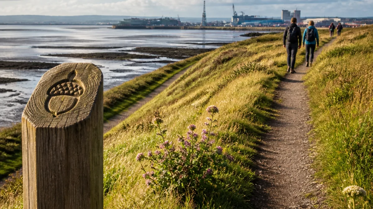
The latest phase of the King Charles III England Coast Path has been completed around the Furness Peninsula, creating a continuous 34-mile (54km) route between Foxfield and Greenodd. Natural England said the addition gives walkers uninterrupted coastal access while also safeguarding important habitats exposed to the tides across Morecambe Bay.
What the new route delivers
The line follows the eastern flank of the peninsula and links a succession of communities and landscapes. It weaves through or alongside Kirkby-in-Furness, Askam-in-Furness, Barrow-in-Furness, Bardsea and Ulverston before crossing the Leven Estuary, providing views over Morecambe Bay and avoiding stretches of shore liable to tidal flooding.
“This part of the King Charles III footpath is absolutely amazing, if you look at the scenery it's the best you'll see on the whole route.”
The comment was made by Adrian Waite of Westmorland and Furness Council, who welcomed the opening.
Why it matters locally
By taking walkers off tidal sands and mudflats, the path reduces the risk of people becoming trapped by incoming tides and reduces disturbance to wildlife that depends on those intertidal areas. Natural England has framed the new section as both an access improvement and a measure to protect rare species that feed and roost on the expanses of sands and mud.
- Length: 34 miles (54km)
- Route: Foxfield to Greenodd, eastern edge of Furness Peninsula
- Communities on route: Kirkby-in-Furness, Askam-in-Furness, Barrow-in-Furness, Bardsea, Ulverston
Practical information for walkers
Walkers should plan for a lengthy, varied walk that includes coastal, estuarine and semi-urban sections. Conditions can change rapidly along Morecambe Bay and on exposed headland; appropriate footwear and up-to-date tide and weather information are advisable. Where the route crosses roadways or industrial land it will be waymarked; users should follow signage and respect private property and designated nature reserves.
| Section | Key places |
|---|---|
| Eastern Furness | Kirkby-in-Furness, Askam-in-Furness |
| Barrow corridor | Barrow-in-Furness, Bardsea |
| Upper estuary | Ulverston, Greenodd |
The opening forms part of the broader England Coast Path project, which when complete will provide around 2,700 miles of continuous public access around the English coastline. For Furness, the new stretch will be of interest to local residents, visitors and conservation groups alike — balancing recreational access with protection for sensitive habitats around Morecambe Bay.
Local authorities and Natural England will continue to monitor use of the route to ensure both safety and environmental objectives are met as walkers begin to use the new section.