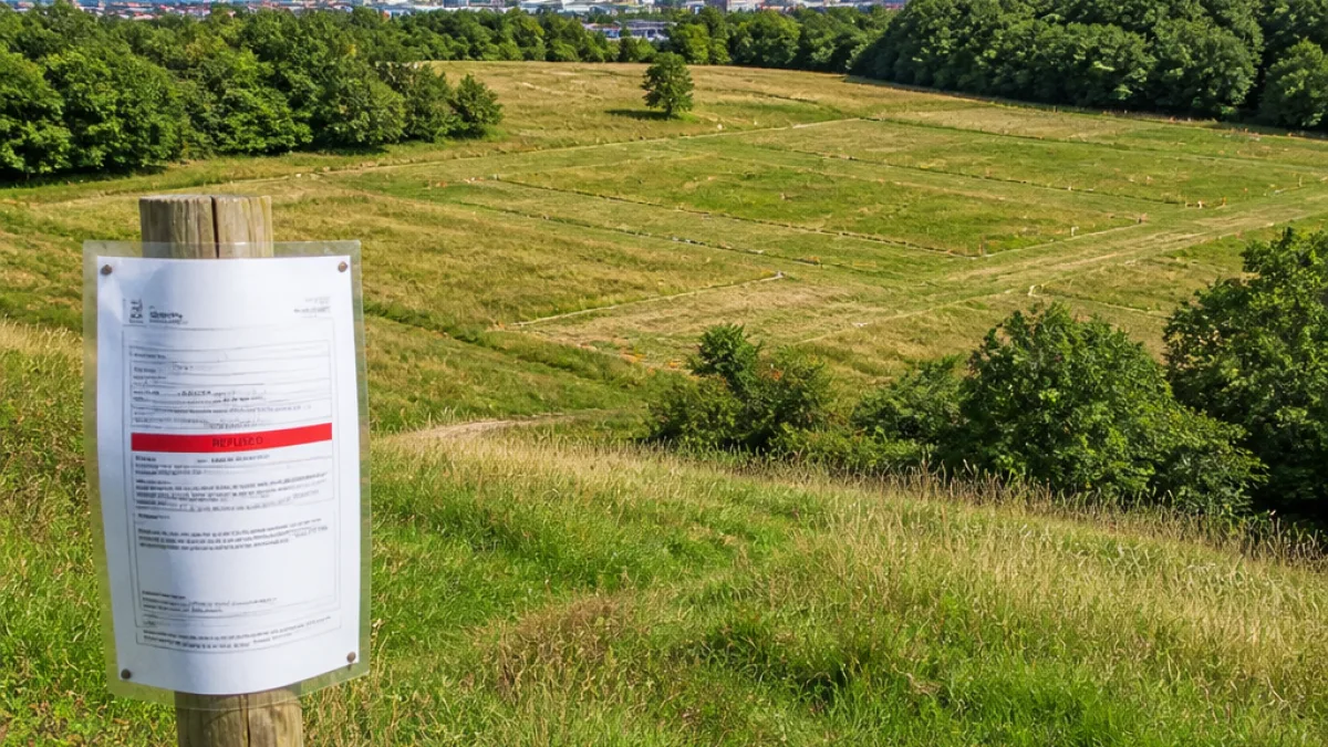
Coventry City Council has turned down outline proposals for a development of 350 homes on land off Fivefield Road in Keresley, after planning officers concluded the scheme would damage protected countryside and the setting of an ancient monument.
Council: countryside and heritage would be harmed
The site lies between Pikehorne Wood and Bunsons Wood, on the northern fringe of the city. The applicant, named in council papers as Marc Wilson (Richborough), and agent Max Morgan (Marrons), had sought permission for housing along with access, landscaping, drainage, ecological enhancements and associated infrastructure.
Officers advised refusal, citing the loss of land within a designated corridor identified on Coventry’s planning maps as a Green and Blue Infrastructure Corridor. In their report, planning officer Emma Spandley set out the council’s reasoning.
“The designated Green and Blue Infrastructure Corridor is required to remain open and free from built development. This corridor provides an essential landscape, ecological and heritage function… By introducing development into this strategically important open space, the proposal would cause unacceptable harm to the landscape character and appearance of the area.”
What the designation means
The Green and Blue Infrastructure Corridor is an established planning tool intended to safeguard corridors of open land that perform multiple public functions: they maintain landscape character, provide ecological connectivity for wildlife and protect the settings of heritage assets. In this case the corridor links Burrow Hill Fort northwards through Hounds Hill and along the Hall Brook towards Jubilee Woodland.
Burrow Hill Fort (also referred to as Corley Camp) is a Scheduled Ancient Monument comprising the remains of a rectangular Iron Age hillfort. The site’s protected status means it has recognised archaeological and historic importance; officers said the proposed housing would undermine the monument’s setting and the wider landscape that contributes to its significance.
Practical implications for local residents and the developer
- Developer actions: The refusal is for an outline application; the applicant could choose to appeal against the decision or submit a revised scheme that responds to the council’s concerns.
- Local environment: Residents in Keresley and neighbouring areas are likely to see the protection of nearby woodlands and open corridors maintained for now.
- Planning tests: Any future proposals would need to demonstrate they do not diminish the openness, ecological function or heritage setting of the corridor.
Timeline and next steps
The council’s refusal is recorded in recent planning papers and followed an officer-led assessment against local planning policy. The decision does not close the matter permanently; applicants commonly lodge appeals to the Planning Inspectorate or bring forward revised applications addressing specific objections. There is no indication in the public record of an appeal notice at this stage.
| Item | Detail |
|---|---|
| Site | Land off Fivefield Road, Keresley |
| Proposed development | Outline permission for 350 homes and associated infrastructure |
| Designation affecting site | Green and Blue Infrastructure Corridor; proximity to Burrow Hill Fort (Scheduled Ancient Monument) |
| Council action | Refusal on landscape, ecological and heritage grounds |
The refusal will be welcomed by local conservation groups and residents who have voiced concern about loss of open land and the impact on the hillfort’s setting. Conversely, proponents of new housing may regard the decision as a setback for increasing the city’s housing supply; such tensions are common where development pressures meet landscape and heritage designations.
For now, the designated open corridor remains protected under the council’s planning policy, and Burrow Hill Fort retains the unbuilt landscape that contributes to its historic significance.