Decision expected before Parliament’s summer recess
A government ruling on whether Leicester’s boundary should be extended to take in surrounding towns and villages is due this week, in what could become the most far-reaching overhaul of local government in Leicestershire for more than half a century. Ministers have been weighing up three options for the county’s future political map as part of plans to streamline councils across England and hand them greater devolved powers.
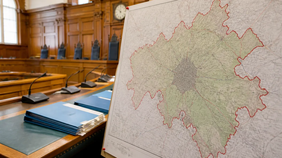
The Ministry of Housing, Communities and Local Government (MHCLG) is considering proposals alongside a broader drive to reduce the number of local authorities. At present, 10 councils serve the county, the city and neighbouring Rutland, overseeing services including education, social care, highways, waste, planning, housing and leisure. The Labour-led city council’s preferred option would push Leicester’s boundary outwards in all directions into areas currently administered by district and borough councils.
City bid sets out population growth and savings case
Leicester City Council’s submission argues that expanding the city would align political boundaries with people’s daily lives and improve efficiency. The authority says the city’s population of about 372,000 would rise to 623,000 under an enlarged footprint, helping to meet an estimated need for 30,000 new homes by 2046. The council also contends that the change would produce approximately £46m in annual efficiency savings across Leicestershire by cutting duplication, trimming back-office costs and redirecting money to front-line services.
The city’s border has remained broadly unchanged for more than 50 years. Proponents of the change portray the current set-up as fragmented, with overlapping responsibilities dispersed across multiple layers of local government. Under the city’s plan, several built-up areas contiguous with Leicester would be folded into a single authority.
Neighbouring communities listed for inclusion
Locations identified by the city council for absorption into an enlarged Leicester include:
- Great Glen, Oadby and Wigston
- Blaby, Enderby and Braunstone Town
- Glenfield, Anstey and Birstall
- Syston
These areas are presently managed by neighbouring district and borough councils, which deliver a range of statutory and discretionary services. The proposal would centralise those functions within a single city authority, subject to ministerial approval.
Political friction over reorganisation and referendum call
The push to redraw the map has triggered opposition from county politicians across Reform UK, the Conservative Party, the Liberal Democrats and the Greens. Critics argue residents face an upheaval they have not sought and question whether a larger council would be more responsive. The government has dismissed calls for a local referendum before reaching a final decision.
Labour’s local government and housing minister Alison McGovern told MPs the shake-up is intended to create stronger councils able to make decisions more quickly. A statement is expected before Parliament rises for the summer recess, setting out which path ministers will back for Leicestershire.
What changes could mean for services and planning
While the detail of the government’s decision remains under wraps, the outcome has direct implications for how people access key services. Any shift to fewer, larger councils would potentially alter how education, social care, highways maintenance, waste collection and leisure are organised. It could also influence the way new housing and infrastructure are planned, particularly if a single authority is tasked with accommodating future growth in and around the city.
The debate turns on competing claims: that consolidation simplifies accountability and saves money, or that it dilutes local voice and risks one-size-fits-all solutions. The city council’s case centres on contiguity and service integration across the urban area. Opponents emphasise the distinct identities of towns and villages and warn against removing a tier of local representation without explicit public consent.
At-a-glance figures from the city’s proposal
| Measure | Current | Proposed |
|---|---|---|
| Leicester population | ~372,000 | ~623,000 |
| Estimated housing need (by 2046) | — | 30,000 homes |
| Annual efficiency savings (county-wide) | — | £46m |
Next steps
Ministers have indicated they will set out their decision this week. If approved, further work would be required to implement any boundary change, including transitions for staff, services and assets between affected councils. If the government chooses an alternative model, the status quo could give way to another form of reorganisation under its streamlining agenda. Either way, residents across Leicester and the county should look out for official guidance on how any changes would be phased in and how to take part in forthcoming consultations.