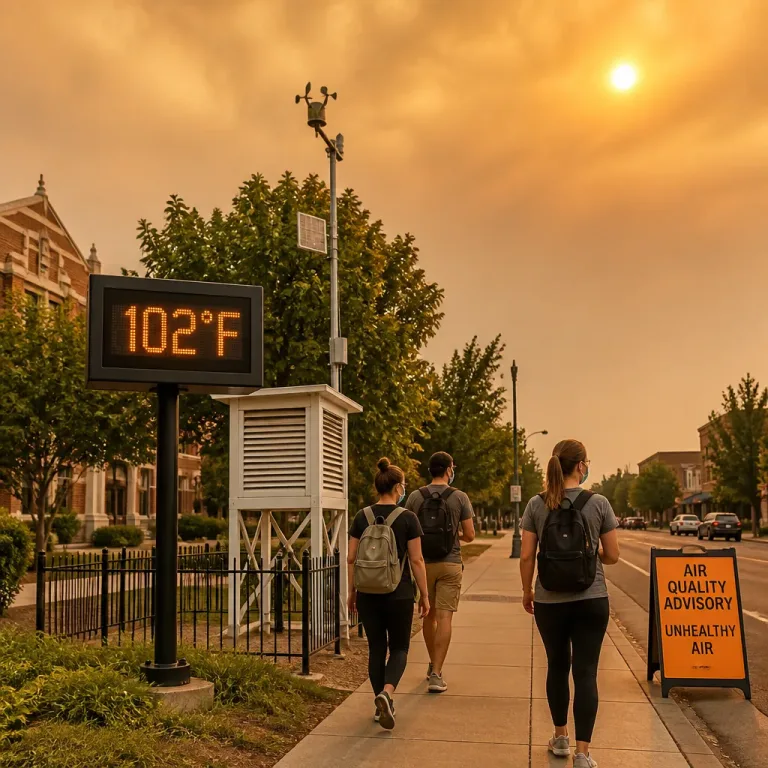
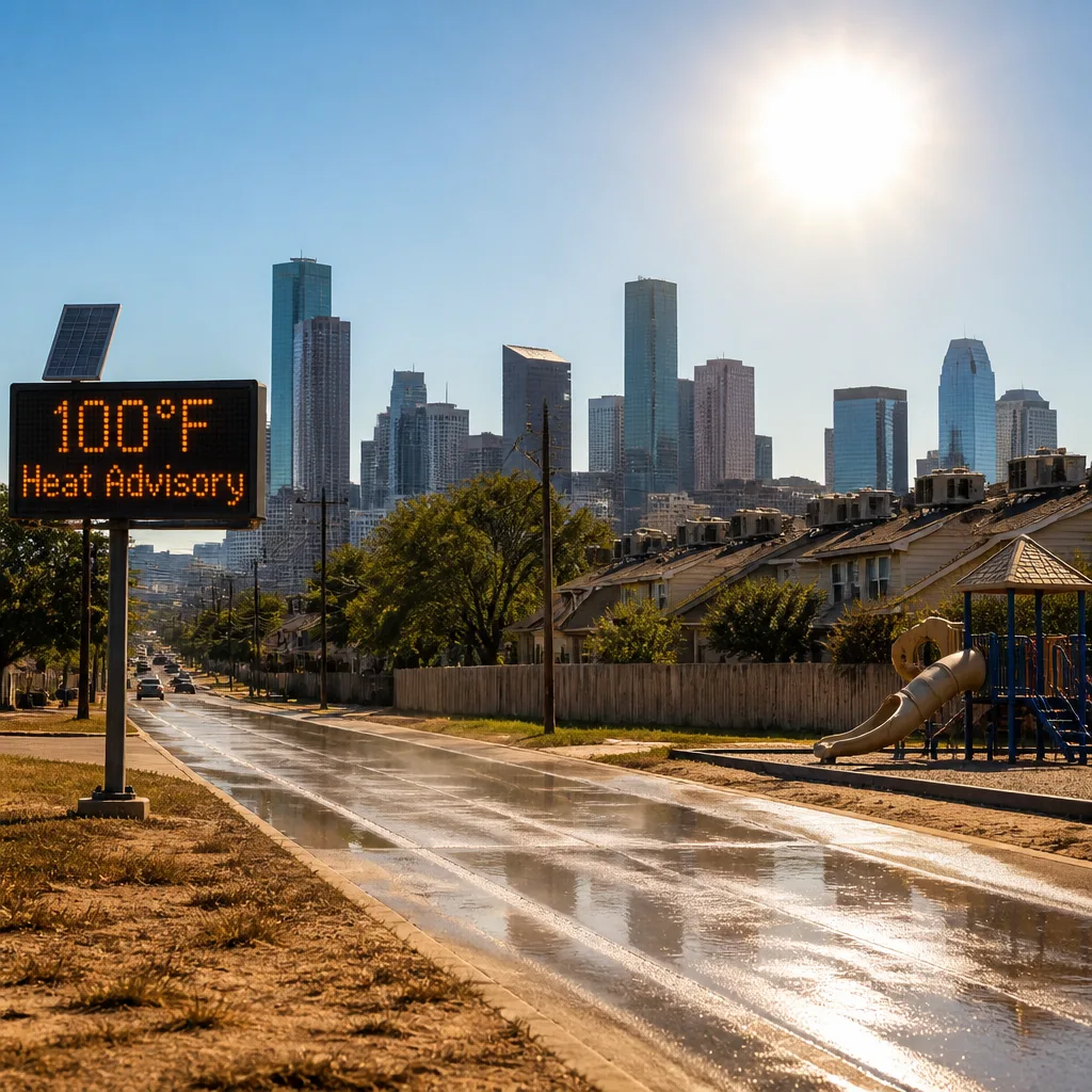
A stronger heat wave will push daytime temperatures to or above 100°F for much of the Houston area next week, driven by a persistent upper‑level ridge over the Central and Southern United States. Meteorologists expect the combination of high heat and humidity to raise heat‑index values well above actual air temperatures, increasing the risk of heat‑related illness.
Current alerts and short‑term outlook
Spots north of Houston are currently covered by a Heat Advisory in effect until 8pm on Sunday, and forecasters warn that additional advisories are likely to be issued for the Houston metro as the work week progresses. The ridge is anticipated to keep rain chances very low, meaning little relief from high afternoon temperatures.
"So please take it easy in the heat, use sunscreen and drink plenty of water!"
How the season and wider patterns are behaving
So far this Atlantic season there have been two named tropical storms: Arthur and Bertha. Bertha produced approximately 3–5 inches of rain for parts of the Gulf Coast last week but has now moved away. Forecasters cite wind shear, Saharan dust and a strengthening El Niño as reasons why no tropical cyclones are expected over the next 7 days. The official peak of the hurricane season is noted as 10 September, and the season extends through the end of November.
Practical safety guidance
- Limit outdoor exertion during the hottest hours; seek shaded or air‑conditioned spaces where possible.
- Stay hydrated and use sunscreen—children, older adults and those with medical conditions are at higher risk.
- Check on neighbours and avoid leaving vulnerable people or pets in parked vehicles.
Below is a concise reference of recent tropical activity referenced by forecasters:
| Storm | Noted impact |
|---|---|
| Arthur | Named storm earlier in season (no local impact detailed) |
| Bertha | Produced ~3–5 inches of rain in parts of the area last week |
Energy and emergency services typically monitor extended heat events closely; residents should heed official Heat Advisories from the National Weather Service and local authorities for updates on timings and recommended actions.
InfoRadar will continue to monitor forecasts and advisory issuances as the ridge persists and heat indices rise through the coming week.