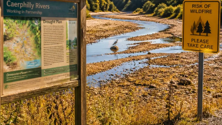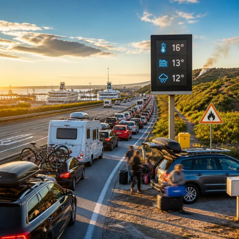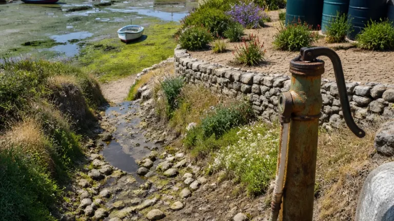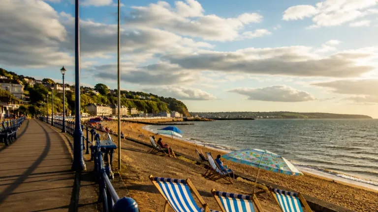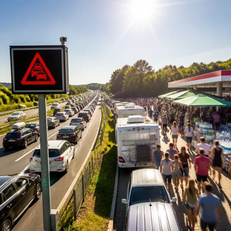
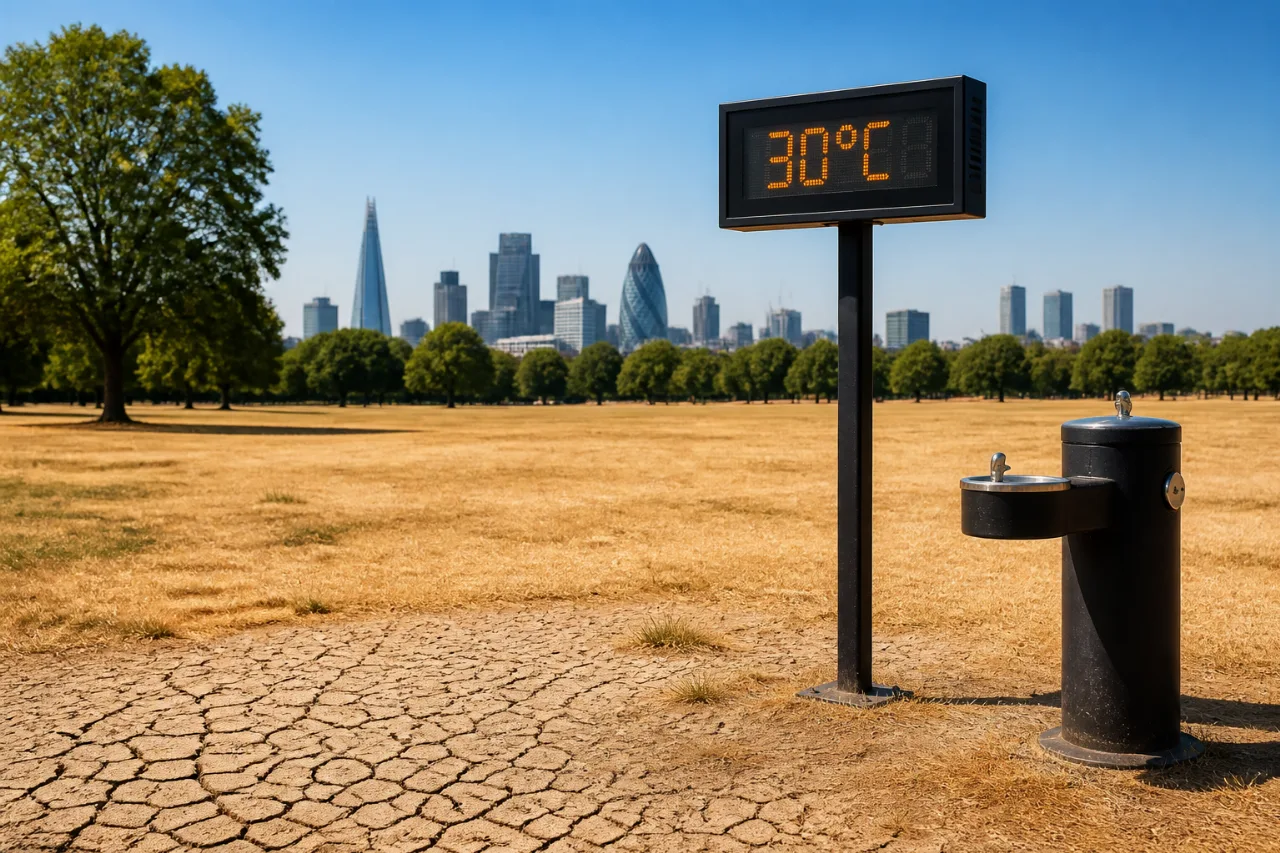
Temperatures are forecast to climb beyond 30C again on Tuesday as the UK’s heatwave shows little sign of abating, with the Met Office indicating the hot, dry spell will persist and London facing what could amount to at least 28 consecutive days without rain.
Heat builds again with no clear end in sight
Following a ninth straight day of heatwave conditions on Monday in the capital, forecasters expect the warmth to intensify once more. Met Office outlooks point to the hot, settled pattern continuing through this week, underpinned by dominant high pressure. While temperatures may ease slightly in parts of south-east England through the weekend and into next week, forecasters are not signalling a definitive end to the warm spell.
“Many people will understandably want to know how long the current heatwave is likely to last. While temperatures are expected to ease across south-east England through the weekend and into next week, it won't be a straightforward end to the warm weather. High pressure is expected to remain in charge through much of next week, but it will gradually migrate northwards. This means that an easterly wind will become established in the South, and the focus for the hottest conditions will migrate towards the South West. As a result, some places that have seen the highest temperatures during recent weeks will begin to cool. It will however, remain very warm – especially in the South West – and heatwave thresholds may continue to be met in places.”
On Monday, the UK high reached 30.1C at Hurn (Dorset), marking the ninth day in a row that somewhere in the country exceeded 30C. June’s hot spell delivered seven consecutive days above that mark.
Dry spell deepens across London
Forecasts indicate almost no rainfall for London for the next two weeks. If realised, the capital will have recorded zero rain for at least 28 days, highlighting how firmly entrenched the current blocking high remains. The prolonged dryness will amplify typical heat impacts in urban areas: warmer nights due to retained heat, increased demand for water, and heightened discomfort during afternoon peaks.
2026’s 30C tally matches 1976 benchmark
According to the Met Office figures cited, there have now been 24 days in 2026 when the UK has surpassed 30C somewhere, split across late spring and summer. That cumulative count is stated as equalling the number of 30C-plus days recorded in 1976, a benchmark year in the UK’s climate memory.
| Month (2026) | 30C+ days |
|---|---|
| May | 7 |
| June | 8 |
| July (so far) | 9 |
| Total | 24 |
The sequence this summer has also delivered notable runs: seven consecutive 30C days during June’s heatwave, and now nine consecutive days in July reaching or topping 30C somewhere in the country. Monday’s 30.1C peak at Hurn underlines the persistence of the upper-end warmth near the Channel and southern counties.
Pattern shift: South West stays warmest as easterlies develop
The Met Office expects the dominant high to edge northwards next week. As that happens, an easterly flow is likely to establish across southern England. This would transfer the focus of the hottest conditions towards the South West, while some recently hottest areas cool slightly. Even so, forecasters caution that it will remain very warm in the South West and that heatwave thresholds may continue to be met in places.
Implications for health, travel and infrastructure
Extended hot, dry spells place extra strain on daily life and services, especially in dense urban settings like London where night-time cooling is limited. With another round of 30C+ conditions expected:
- Plan outdoor activity for the cooler parts of the day and seek shade during afternoon peaks.
- Keep hydrated and check on those who are older, very young, or have underlying health conditions.
- Use cool rooms, fans and light clothing to manage indoor heat, and close blinds on sun-facing windows.
Transport and infrastructure can also feel the pressure during sustained heat, with potential for rail and road surfaces to be affected and for energy demand to rise during warm nights. The absence of meaningful rainfall over several weeks increases the importance of careful water use, though no formal restrictions are indicated in the forecast text provided.
What to watch through the week
Key markers for the coming days include whether the 30C threshold is exceeded nationwide for a tenth successive day, how quickly temperatures ease over the south-east this weekend, and confirmation of London’s rain-free streak length should showers continue to miss the capital. Attention will also turn to the South West as the projected easterly flow develops, maintaining the warmth there into next week.
In summary, the UK’s hot spell is set to continue, with temperatures above 30C once more and very limited rain on the horizon for the capital. While a subtle shift in the pattern could trim the heat for parts of the south-east later, the underlying signal remains for very warm, dry weather to persist, particularly across the South West as high pressure repositions to the north.